|
search place name
|
||
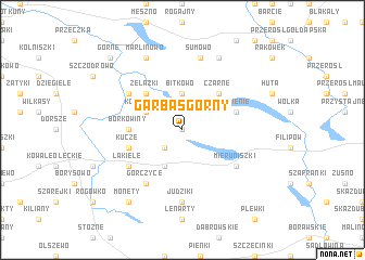
Garbas Górny (Poland)Garbas Górny is a town in Poland. An overview map of the region around Garbas Górny is displayed below.
regional and 3d topo map of Garbas Górny, Poland ::
Garbas Górny airports ::
The nearest airport is KGD - Kaliningrad Khrabrovo, located 146.3 km north west of Garbas Górny.
Nearby towns ::
Garbas Dolny (0.0km north) //
Garbas (0.0km north) //
Drozdówko (2.1km south west) //
Bitkowo (3.7km north) //
Drozdowo (3.9km south) //
Kołpakowo (2.9km north west) //
Czarne (4.3km north east) //
Żelazki (4.3km north west) //
Borkowiny (3.3km west) //
Kucze (3.7km south west) //
Supienie (3.7km north east) //
Babki (4.9km north west) //
Łakiele (4.9km south west) //
Mieruniszki (4.9km south east) //
Gorczyce (6.0km south) //
Judziki (7.4km south) //
Biała Olecka (7.4km south) //
Sumowo (7.5km north) //
Białe Jeziorki (7.7km north) //
Marlinowo (7.7km north) //
Czarne (7.7km north) //
Monety (8.1km south west) //
Górne (8.6km north west) //
[all distances 'as the bird flies' and approximate] 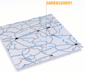 Places with similar names to Garbas Górny, Poland ::
// Grabowce Górne (PL)
Disclaimer :: Information on this page comes without warranty of any kind |
||
|
Where is Garbas Górny? Elevation and coordinates ::
Latitude (lat): 54°12'0"N Longitude (lon): 22°31'0"E
Elevation (approx.): 218m (map arrows pan, magnifying glasses zoom) |
||
|
Visiting Garbas Górny? Hotel/Accommodation ::
Book a hotel in Garbas Górny Travel Guide ::
Buy a travel guide for Poland rental cars ::
car rental offers GPS waypoint ::
download a GPX waypoint (PoI) of Garbas Górny for your GPS receiver
|
||