|
search place name
|
||
Głuszyca (Poland)Głuszyca is a town in Poland. An overview map of the region around Głuszyca is displayed below.
regional and 3d topo map of Głuszyca, Poland ::

Głuszyca airports ::
The nearest airport is WRO - Wroclaw Strachowice, located 58.5 km north east of Głuszyca.
Other airports nearby include PED - Pardubice (87.5 km south west), BBJ - Bautzen (142.8 km north west), PRV - Prerov (157.8 km south east), OSR - Ostrava Mosnov (165.1 km south east), Nearby towns ::
Głuszyca Górna (1.9km south) //
Grzmiąca (3.0km north west) //
Łomnica (3.5km west) //
Janovičky (5.7km south) //
Jugowice (5.7km north) //
Walim (4.0km north east) //
Zagórze Śląskie (7.5km north) //
Domachów (5.0km east) //
Jedlina-Zdrój (6.6km north west) //
Heřmánkovice (6.6km south west) //
Benešov (7.8km south) //
[all distances 'as the bird flies' and approximate] 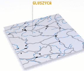 Places with similar names to Głuszyca, Poland ::
// Golaszka (PL)
// Gołoszka (PL)
// Kaliszki (PL)
// Kaliszki (PL)
// Koluszki (PL)
// Kuleszka (PL)
// Kuleszki (PL)
// Klaišiškiai (LT)
// Kulšiškiai (LT)
// Kaluzhskiy (RU)
Disclaimer :: Information on this page comes without warranty of any kind |
||
|
Where is Głuszyca? Elevation and coordinates ::
Latitude (lat): 50°41'0"N Longitude (lon): 16°23'0"E
Elevation (approx.): 519m (map arrows pan, magnifying glasses zoom) |
||
|
Visiting Głuszyca? Hotel/Accommodation ::
Book a hotel in Głuszyca Travel Guide ::
Buy a travel guide for Poland rental cars ::
car rental offers GPS waypoint ::
download a GPX waypoint (PoI) of Głuszyca for your GPS receiver
|
||