|
search place name
|
||
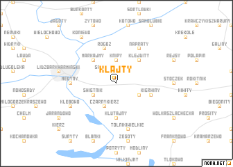
Kłajty (Poland)Kłajty is a town in Poland. An overview map of the region around Kłajty is displayed below.
regional and 3d topo map of Kłajty, Poland ::
Kłajty airports ::
The nearest airport is KGD - Kaliningrad Khrabrovo, located 86.2 km north of Kłajty.
Other airports nearby include WAW - Warsaw Okecie (218.0 km south), Nearby towns ::
Sarnowo (2.1km north west) //
Knipy (3.7km north) //
Kobiela (2.9km south east) //
Świętnik (2.9km south west) //
Czarny Kierz (3.9km south) //
Klejdity (4.3km north east) //
Markajmy (4.3km north west) //
Klutajny (5.6km south) //
Rogóż (5.7km north) //
Konity (3.7km south east) //
Kierwiny (3.7km south east) //
Napraty (6.0km north) //
Medyny (4.3km west) //
Tolniki Wielkie (7.5km south) //
Kłębowo (5.7km south west) //
Koniewo (8.1km north west) //
[all distances 'as the bird flies' and approximate] 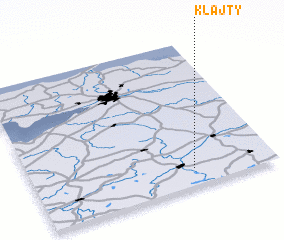 Places with similar names to Kłajty, Poland ::
// Klagetoh (US)
// Collegiata (IT)
// Collegiudeo (IT)
// Kljeuta (BA)
// Kalijati (ID)
// Kalijati (ID)
// Kālīgīti (PK)
// Kʼilajita (ET)
// Kilgetty (GB)
// Kalijati (ID)
Disclaimer :: Information on this page comes without warranty of any kind |
||
|
Where is Kłajty? Elevation and coordinates ::
Latitude (lat): 54°7'0"N Longitude (lon): 20°40'0"E
Elevation (approx.): 150m (map arrows pan, magnifying glasses zoom) |
||
|
Visiting Kłajty? Hotel/Accommodation ::
Book a hotel in Kłajty Travel Guide ::
Buy a travel guide for Poland rental cars ::
car rental offers GPS waypoint ::
download a GPX waypoint (PoI) of Kłajty for your GPS receiver
|
||