|
search place name
|
||
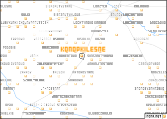
Konopki Leśne (Poland)Konopki Leśne is a town in Poland. An overview map of the region around Konopki Leśne is displayed below.
regional and 3d topo map of Konopki Leśne, Poland ::
Konopki Leśne airports ::
The nearest airport is WAW - Warsaw Okecie, located 124.4 km south west of Konopki Leśne.
Other airports nearby include KGD - Kaliningrad Khrabrovo (221.7 km north west), Nearby towns ::
Jemielite Wypychy (1.1km east) //
Zagroby (1.9km north) //
Ratowo Piotrowo (2.2km south west) //
Konopki Stare (2.2km north west) //
Sierzputy Marki (2.2km east) //
Sierzputy Zagajne (2.2km east) //
Ratowo Stare (3.7km south) //
Chomentowo (2.2km west) //
Boguszyce (3.7km north) //
Kisiołki (3.7km north) //
Jemielite Stare (2.9km south east) //
Olszewo (3.9km south) //
Mężenin (3.9km south) //
Kołaczki Lemiesze (2.9km north east) //
Żebry (2.9km north west) //
Andrzejki (3.9km north) //
Koziki (4.3km north east) //
Czaplice (4.3km north west) //
Duchny Młode (5.6km south) //
Duchny Stare (5.7km south) //
Grabowo-Wądołowo (5.7km south) //
Śniadowo (5.7km south) //
Konarzyce (6.0km north) //
Truszki (5.0km south west) //
Mikołajki (6.0km north) //
Brulin (6.0km south) //
Osobne (5.0km north west) //
Jarnuty (7.4km north) //
Łochtynowo (7.4km north) //
[all distances 'as the bird flies' and approximate] 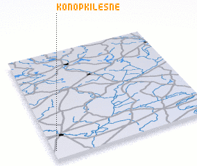 Places with similar names to Konopki Leśne, Poland :: Disclaimer :: Information on this page comes without warranty of any kind |
||
|
Where is Konopki Leśne? Elevation and coordinates ::
Latitude (lat): 53°5'0"N Longitude (lon): 22°1'0"E
Elevation (approx.): 136m (map arrows pan, magnifying glasses zoom) |
||
|
Visiting Konopki Leśne? Hotel/Accommodation ::
Book a hotel in Konopki Leśne Travel Guide ::
Buy a travel guide for Poland rental cars ::
car rental offers GPS waypoint ::
download a GPX waypoint (PoI) of Konopki Leśne for your GPS receiver
|
||