|
search place name
|
||
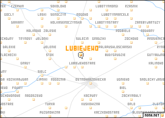
Lubiejewo (Poland)Lubiejewo is a town in Poland. An overview map of the region around Lubiejewo is displayed below.
regional and 3d topo map of Lubiejewo, Poland ::
Lubiejewo airports ::
The nearest airport is WAW - Warsaw Okecie, located 98.3 km south west of Lubiejewo.
Nearby towns ::
Lubiejewo Nowe (1.1km east) //
Zakrzewek (1.9km north) //
Lubiejewo Stare (1.9km south) //
Legionowo (2.2km south west) //
Sulęcin (3.7km north) //
Komorowo (2.9km south west) //
Grądziki (4.3km north east) //
Pałapus (3.8km north east) //
Ostrów Mazowiecka (5.7km south) //
Stok (4.5km west) //
Budy Grudzie (4.5km east) //
Jelenie (4.8km north west) //
Kosewo (7.5km north) //
Pałapus Szlachecki (4.8km north east) //
Pałapus Włośćiański (4.8km north east) //
Rogóżnia (6.5km south west) //
Wólka Seroczyńska (7.7km north) //
Klimonty (7.7km north) //
Zalesie (7.1km north west) //
Popielarnia (7.1km south west) //
Lubotyń Stary (8.1km north east) //
Gumowo (8.7km north east) //
[all distances 'as the bird flies' and approximate] 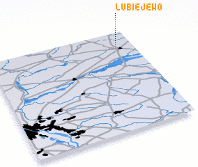 Places with similar names to Lubiejewo, Poland ::
// Lubiejewo (PL)
Disclaimer :: Information on this page comes without warranty of any kind |
||
|
Where is Lubiejewo? Elevation and coordinates ::
Latitude (lat): 52°51'0"N Longitude (lon): 21°53'0"E
Elevation (approx.): 131m (map arrows pan, magnifying glasses zoom) |
||
|
Visiting Lubiejewo? Hotel/Accommodation ::
Book a hotel in Lubiejewo Travel Guide ::
Buy a travel guide for Poland rental cars ::
car rental offers GPS waypoint ::
download a GPX waypoint (PoI) of Lubiejewo for your GPS receiver
|
||