|
search place name
|
||
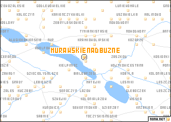
Murawskie Nadbużne (Poland)Murawskie Nadbużne is a town in Poland. An overview map of the region around Murawskie Nadbużne is displayed below.
regional and 3d topo map of Murawskie Nadbużne, Poland ::
Murawskie Nadbużne airports ::
The nearest airport is WAW - Warsaw Okecie, located 109.5 km south west of Murawskie Nadbużne.
Nearby towns ::
Myślibory (0.0km north) //
Obryte (2.2km south east) //
Kossaki (2.2km north west) //
Białobrzegi (3.7km south) //
Kiełpiniec (2.9km south west) //
Kramkowo Lipskie (3.9km north) //
Tymianki Moderki (5.6km north) //
Wojtkowice Dady (3.9km south east) //
Matejki (5.7km south) //
Tymianki Stasie (5.7km north) //
Wojtkowice Glinna (5.0km south east) //
Łazów (7.4km south) //
Zaszków (4.5km east) //
Szpice Chojnowo (7.4km north) //
Natolin (4.9km west) //
Kamieńczyk (6.5km south east) //
Kolonia Seroczyn (6.5km south west) //
Tymianki Adamy (6.5km north east) //
Seroczyn (7.7km south) //
Chądzyń (5.8km south west) //
Nur (5.8km north west) //
Żebry Laskowiec (7.7km north) //
Nowodwory (8.7km north east) //
[all distances 'as the bird flies' and approximate] 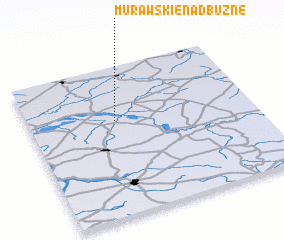 Places with similar names to Murawskie Nadbużne, Poland :: Disclaimer :: Information on this page comes without warranty of any kind |
||
|
Where is Murawskie Nadbużne? Elevation and coordinates ::
Latitude (lat): 52°38'0"N Longitude (lon): 22°23'0"E
Elevation (approx.): 118m (map arrows pan, magnifying glasses zoom) |
||
|
Visiting Murawskie Nadbużne? Hotel/Accommodation ::
Book a hotel in Murawskie Nadbużne Travel Guide ::
Buy a travel guide for Poland rental cars ::
car rental offers GPS waypoint ::
download a GPX waypoint (PoI) of Murawskie Nadbużne for your GPS receiver
|
||