|
search place name
|
||
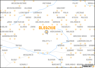
Olędzkie (Poland)Olędzkie is a town in Poland. An overview map of the region around Olędzkie is displayed below.
regional and 3d topo map of Olędzkie, Poland ::
Olędzkie airports ::
The nearest airport is WAW - Warsaw Okecie, located 148.1 km south west of Olędzkie.
Nearby towns ::
Świrydy (1.1km west) //
Olszewo (2.2km north east) //
Poletyły (3.7km south) //
Mierzwin (2.2km east) //
Mierzwin Mały (2.2km east) //
Wólka Zaleska (3.9km north) //
Moskwin (3.9km north) //
Załuskie Koronne (2.9km south east) //
Gawiny (4.3km north east) //
Górskie (4.3km north east) //
Mierzwin Duży (3.4km east) //
Zanie (3.8km north west) //
Topczewo (5.7km north) //
Załuskie Kościelne (5.0km south east) //
Trzeszczkowo (5.0km north east) //
Bogusze (5.0km north east) //
Zalesie (6.0km north) //
Kiersnówek (7.4km south) //
Wólka Pietkowska (7.4km north) //
Popławy (7.5km south) //
Kożuszki (4.8km east) //
Bronka (6.5km south east) //
Budlewo (6.5km north east) //
Ściony (5.8km north west) //
Brańsk (7.7km south) //
Bagińskie (5.8km north east) //
Bagińskie Stare (5.8km north east) //
Bagińskie Nowe (5.8km north east) //
Łukawica (7.7km north) //
[all distances 'as the bird flies' and approximate] 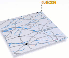 Places with similar names to Olędzkie, Poland ::
// Old Sagay (PH)
// Oulad Zeguia (DZ)
Disclaimer :: Information on this page comes without warranty of any kind |
||
|
Where is Olędzkie? Elevation and coordinates ::
Latitude (lat): 52°48'0"N Longitude (lon): 22°53'0"E
Elevation (approx.): 145m (map arrows pan, magnifying glasses zoom) |
||
|
Visiting Olędzkie? Hotel/Accommodation ::
Book a hotel in Olędzkie Travel Guide ::
Buy a travel guide for Poland rental cars ::
car rental offers GPS waypoint ::
download a GPX waypoint (PoI) of Olędzkie for your GPS receiver
|
||