|
search place name
|
||
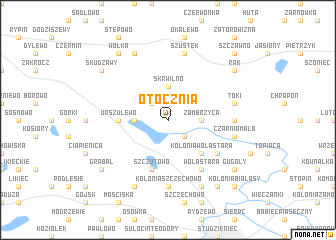
Otocznia (Poland)Otocznia is a town in Poland. An overview map of the region around Otocznia is displayed below.
regional and 3d topo map of Otocznia, Poland ::
Otocznia airports ::
The nearest airport is WAW - Warsaw Okecie, located 129.9 km south east of Otocznia.
Other airports nearby include GDN - Gdansk Lecha Walesy (172.3 km north west), KGD - Kaliningrad Khrabrovo (222.0 km north), Nearby towns ::
Dziki Bór (2.2km south east) //
Baba (2.2km north west) //
Zambrzyca (2.2km east) //
Słupia (2.2km west) //
Skrwilno (3.7km north) //
Ruda (3.7km north) //
Kolonia Wola Stara (4.3km south east) //
Urszulewo (3.3km west) //
Rumunki Skudzawy (3.3km west) //
Szczutowo (5.7km south) //
Blizno (5.7km south) //
Gorzeń (5.0km south east) //
Wola Stara (6.0km south) //
Kolonia Szczechowo (7.4km south) //
Dąbkowa Parowa (7.4km south) //
Czarnia Duża (4.5km east) //
Czarnia Mała (4.8km south east) //
Szustek (7.5km north) //
Mościska (4.8km north east) //
Toki (4.8km north east) //
Jaźwiny (7.7km south) //
Cise (7.7km south) //
Przywitowo (7.7km north) //
Borki (7.7km north) //
Bialasy (8.1km south east) //
Gugoły (7.1km south east) //
Wólka (8.1km north west) //
Grabal (7.1km south west) //
Rak (7.1km north east) //
[all distances 'as the bird flies' and approximate] 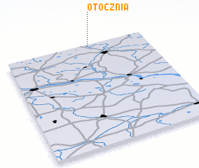 Places with similar names to Otocznia, Poland ::
Disclaimer :: Information on this page comes without warranty of any kind |
||
|
Where is Otocznia? Elevation and coordinates ::
Latitude (lat): 52°59'0"N Longitude (lon): 19°36'0"E
Elevation (approx.): 113m (map arrows pan, magnifying glasses zoom) |
||
|
Visiting Otocznia? Hotel/Accommodation ::
Book a hotel in Otocznia Travel Guide ::
Buy a travel guide for Poland rental cars ::
car rental offers GPS waypoint ::
download a GPX waypoint (PoI) of Otocznia for your GPS receiver
|
||