|
search place name
|
||
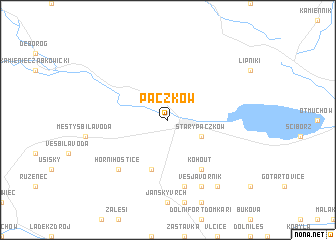
Paczków (Poland)Paczków is a town in Poland. An overview map of the region around Paczków is displayed below.
regional and 3d topo map of Paczków, Poland ::
Paczków airports ::
The nearest airport is WRO - Wroclaw Strachowice, located 71.2 km north of Paczków.
Other airports nearby include PED - Pardubice (103.1 km south west), OSR - Ostrava Mosnov (116.9 km south east), PRV - Prerov (119.4 km south), BRQ - Turany (147.9 km south), Nearby towns ::
Stary Paczków (3.0km south east) //
Bílý Potok (5.7km south) //
Kohout (6.0km south east) //
Město Javorník (7.5km south) //
Javorník (7.5km south) //
Horní Hoštice (6.6km south west) //
Ves Javorník (7.8km south) //
Pavlinka (8.2km south east) //
[all distances 'as the bird flies' and approximate] 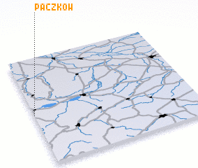 Places with similar names to Paczków, Poland ::
Disclaimer :: Information on this page comes without warranty of any kind |
||
|
Where is Paczków? Elevation and coordinates ::
Latitude (lat): 50°28'0"N Longitude (lon): 17°0'0"E
Elevation (approx.): 239m (map arrows pan, magnifying glasses zoom) |
||
|
Visiting Paczków? Hotel/Accommodation ::
Book a hotel in Paczków Travel Guide ::
Buy a travel guide for Poland rental cars ::
car rental offers GPS waypoint ::
download a GPX waypoint (PoI) of Paczków for your GPS receiver
|
||