|
search place name
|
||
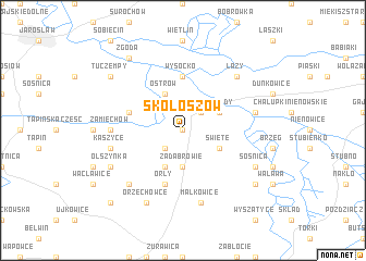
Skołoszów (Poland)Skołoszów is a town in Poland. An overview map of the region around Skołoszów is displayed below.
regional and 3d topo map of Skołoszów, Poland ::
Skołoszów airports ::
The nearest airport is RZE - Rzeszow Jasionka, located 60.4 km west of Skołoszów.
Other airports nearby include LWO - Lvov Lviv Intl (83.0 km east), KSC - Kosice (181.9 km south west), Nearby towns ::
Zamojsce (0.0km north) //
Zabłotce (2.2km south west) //
Radymno (2.2km north east) //
Zadabrowie (3.7km south) //
Święte (3.0km south east) //
Drohojów (3.9km south) //
Zagrody (3.0km north east) //
Ostrów (3.9km north) //
Wysocko (5.6km north) //
Lutków (4.0km north west) //
Orły (5.7km south) //
Zamiechów (4.8km west) //
Małkowice (7.5km south) //
Grabowiec (5.1km east) //
Michałówka (5.1km east) //
Kaszyce (5.1km west) //
Łazy (6.6km north east) //
Trójczyce (6.6km south west) //
Hnatkowice (6.6km south west) //
Sośnica (6.0km south east) //
Orzechowce (7.8km south) //
Duńkowiczki (7.8km south) //
Olszynka (6.0km south west) //
Niziny (7.3km south east) //
Munina (7.3km north west) //
Tuczempy (7.3km north west) //
Zgoda (8.2km north west) //
Batycze (8.8km south west) //
[all distances 'as the bird flies' and approximate] 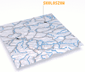 Places with similar names to Skołoszów, Poland ::
// Skalisze (PL)
Disclaimer :: Information on this page comes without warranty of any kind |
||
|
Where is Skołoszów? Elevation and coordinates ::
Latitude (lat): 49°56'0"N Longitude (lon): 22°49'0"E
Elevation (approx.): 201m (map arrows pan, magnifying glasses zoom) |
||
|
Visiting Skołoszów? Hotel/Accommodation ::
Book a hotel in Skołoszów Travel Guide ::
Buy a travel guide for Poland rental cars ::
car rental offers GPS waypoint ::
download a GPX waypoint (PoI) of Skołoszów for your GPS receiver
|
||