|
search place name
|
||
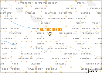
Słabomierz (Poland)Słabomierz is a town in Poland. An overview map of the region around Słabomierz is displayed below.
regional and 3d topo map of Słabomierz, Poland ::
Słabomierz airports ::
The nearest airport is WAW - Warsaw Okecie, located 37.0 km north east of Słabomierz.
Other airports nearby include KTW - Katowice Pyrzowice (196.6 km south west), KRK - Krakow Balice (219.7 km south), RZE - Rzeszow Jasionka (235.7 km south east), Nearby towns ::
Grabce Józefpolskie (1.9km south) //
Mszczonów (2.2km south east) //
Lublinów (2.2km south west) //
Świnice (2.2km south west) //
Wręcza (2.3km west) //
Budy Mszczonowskie (2.3km east) //
Marków Towarzystwo (3.7km south) //
Grabce (2.9km south west) //
Korytów (3.9km north) //
Szeligi (4.4km south west) //
Kamionka (4.4km south east) //
Bieganów (5.6km north) //
Gąba (5.6km south) //
Radziejowice (3.4km east) //
Adamowice (5.7km south) //
Zazdrość (3.9km north west) //
Badów Górny (6.0km south) //
Radziejowskie Budy Stare (6.0km north) //
Chroboty (6.0km north) //
Powązki (6.0km south) //
Karnice (5.0km south west) //
Radziejowskie Budy Nowe (5.0km north east) //
Budy Stare (7.4km north) //
Górki (4.9km west) //
Benenard (4.9km west) //
Mariampol (7.8km north) //
Korabiewice (5.9km south west) //
Bronisławów (5.9km south east) //
Budy Michałowskie (7.2km north east) //
[all distances 'as the bird flies' and approximate] 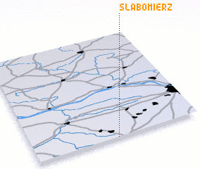 Places with similar names to Słabomierz, Poland ::
// Słabomierz (PL)
Disclaimer :: Information on this page comes without warranty of any kind |
||
|
Where is Słabomierz? Elevation and coordinates ::
Latitude (lat): 52°0'0"N Longitude (lon): 20°30'0"E
Elevation (approx.): 158m (map arrows pan, magnifying glasses zoom) |
||
|
Visiting Słabomierz? Hotel/Accommodation ::
Book a hotel in Słabomierz Travel Guide ::
Buy a travel guide for Poland rental cars ::
car rental offers GPS waypoint ::
download a GPX waypoint (PoI) of Słabomierz for your GPS receiver
|
||