|
search place name
|
||
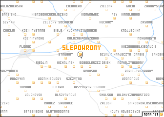
Ślepowrony (Poland)Ślepowrony is a town in Poland. An overview map of the region around Ślepowrony is displayed below.
regional and 3d topo map of Ślepowrony, Poland ::
Ślepowrony airports ::
The nearest airport is WAW - Warsaw Okecie, located 59.4 km south east of Ślepowrony.
Nearby towns ::
Krępica (1.9km south) //
Soboklęszcz (2.2km south east) //
Lisewo (2.2km south west) //
Strubiny (2.3km west) //
Kołoząb (3.9km north) //
Pruszkowo (3.9km north) //
Michalinek (2.9km south west) //
Wrońska (3.9km south) //
Idzikowice (4.3km north east) //
Proboszczewice (4.3km south east) //
Kuchary Żydowskie (5.6km north) //
Szumlin (3.4km east) //
Drożdżyn (3.9km north west) //
Gromadzyn (5.7km north) //
Osiek (3.9km south east) //
Szczytno (5.7km south) //
Królewo (4.9km east) //
Dalanowo (4.9km west) //
Przyborowice Górne (7.5km south) //
Biele (6.5km north west) //
Poczernia (6.5km south west) //
Sochocin (7.7km north) //
Kownaty (5.8km north west) //
Karolinowo (7.7km south) //
Kuchary (8.1km north east) //
Wożniki Pruszyn (7.2km south west) //
Wożniki Zawady (7.2km south west) //
Słotwin (8.1km south west) //
Żelechy (8.7km north west) //
[all distances 'as the bird flies' and approximate] 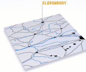 Places with similar names to Ślepowrony, Poland ::
Disclaimer :: Information on this page comes without warranty of any kind |
||
|
Where is Ślepowrony? Elevation and coordinates ::
Latitude (lat): 52°37'0"N Longitude (lon): 20°30'0"E
Elevation (approx.): 103m (map arrows pan, magnifying glasses zoom) |
||
|
Visiting Ślepowrony? Hotel/Accommodation ::
Book a hotel in Ślepowrony Travel Guide ::
Buy a travel guide for Poland rental cars ::
car rental offers GPS waypoint ::
download a GPX waypoint (PoI) of Ślepowrony for your GPS receiver
|
||