|
search place name
|
||
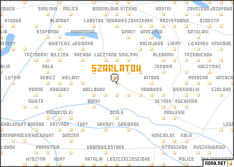
Szarłatów (Poland)Szarłatów is a town in Poland. An overview map of the region around Szarłatów is displayed below.
regional and 3d topo map of Szarłatów, Poland ::
Szarłatów airports ::
The nearest airport is POZ - Poznan Lawica, located 116.5 km west of Szarłatów.
Other airports nearby include WRO - Wroclaw Strachowice (171.7 km south west), KTW - Katowice Pyrzowice (203.2 km south), Nearby towns ::
Smulniki Racięckie (0.0km north) //
Konstantynów (1.9km south) //
Kolonia Szarłatów (2.2km north east) //
Budki Stare (2.2km south east) //
Drążek (2.2km south west) //
Klonowa (3.7km north) //
Smulniki (3.9km north) //
Drzewce (2.9km north east) //
Łuczywno (3.9km north) //
Budki Nowe (2.9km south east) //
Rysiny (2.9km north west) //
Wacławów (2.9km south west) //
Chmielnik (2.9km south west) //
Borki (4.3km south west) //
Strumyk (3.4km west) //
Witowo (3.4km east) //
Ochle (5.6km south) //
Nowa Wieś (3.9km south east) //
Pąchów (5.0km north west) //
Kazubek (6.0km north) //
Łegi (4.5km west) //
Wielany (4.5km west) //
Grądy (7.5km north) //
Żeromin (4.9km east) //
Budzisław (4.9km east) //
Gąsiorów (7.5km south) //
Trzęśniew (7.5km south) //
Wakowy (7.5km south) //
Jesionka (6.5km north west) //
[all distances 'as the bird flies' and approximate] 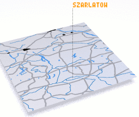
Disclaimer :: Information on this page comes without warranty of any kind |
||
|
Where is Szarłatów? Elevation and coordinates ::
Latitude (lat): 52°16'0"N Longitude (lon): 18°31'0"E
Elevation (approx.): 110m (map arrows pan, magnifying glasses zoom) |
||
|
Visiting Szarłatów? Hotel/Accommodation ::
Book a hotel in Szarłatów Travel Guide ::
Buy a travel guide for Poland rental cars ::
car rental offers GPS waypoint ::
download a GPX waypoint (PoI) of Szarłatów for your GPS receiver
|
||