|
search place name
|
||
Zielona (Poland)Zielona is a town in Poland. An overview map of the region around Zielona is displayed below.
regional and 3d topo map of Zielona, Poland ::

Zielona airports ::
The nearest airport is KTW - Katowice Pyrzowice, located 10.9 km south east of Zielona.
Other airports nearby include KRK - Krakow Balice (77.6 km south east), OSR - Ostrava Mosnov (113.6 km south west), PRV - Prerov (168.7 km south west), TAT - Poprad Tatry (187.5 km south east), Nearby towns ::
Dyrdy (3.7km north) //
Miotek (2.4km west) //
Sośnice (3.9km north) //
Kuczów (3.5km west) //
Piasek (5.7km north) //
Dąbrowa Mała (4.0km south east) //
Zyglinek (6.0km south west) //
Bibiela (6.0km south east) //
Truszczyce (4.7km west) //
Miasteczko Śląskie (6.6km south west) //
Bukowiec (6.6km north west) //
Zyglin (7.8km south) //
Psary (7.8km north) //
Lubsza (7.8km north) //
Ligota Woźnicka (8.8km north east) //
[all distances 'as the bird flies' and approximate] 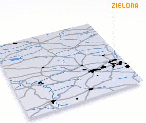 Places with similar names to Zielona, Poland ::
Disclaimer :: Information on this page comes without warranty of any kind |
||
|
Where is Zielona? Elevation and coordinates ::
Latitude (lat): 50°33'0"N Longitude (lon): 18°59'0"E
Elevation (approx.): 291m (map arrows pan, magnifying glasses zoom) |
||
|
Visiting Zielona? Hotel/Accommodation ::
Book a hotel in Zielona Travel Guide ::
Buy a travel guide for Poland rental cars ::
car rental offers GPS waypoint ::
download a GPX waypoint (PoI) of Zielona for your GPS receiver
|
||