|
search place name
|
||
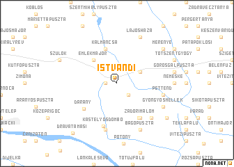
Istvándi (Somogy, Hungary)Istvándi is a town in the Somogy region of Hungary. An overview map of the region around Istvándi is displayed below.
regional and 3d topo map of Istvándi, Hungary ::
Istvándi airports ::
The nearest airport is OSI - Osijek, located 110.4 km south east of Istvándi.
Other airports nearby include ZAG - Zagreb (125.2 km west), MBX - Maribor (158.7 km west), BUD - Budapest Ferihegy (200.8 km north east), Nearby towns ::
Csillagcsárda (1.3km west) //
Kolompéroscsárda (1.3km west) //
Ilkapuszta (2.3km south east) //
Dobsza (3.2km north east) //
Emlékmajor (4.5km north west) //
Kálmáncsa (5.7km north) //
Zádor (6.1km south east) //
Zádorimalom (6.1km south east) //
Faluvég (6.1km south east) //
Darány (5.5km south west) //
Kastélyosdombó (7.1km south) //
Drávagárdony (7.5km south) //
Pettend (5.5km east) //
Szörény (6.8km south east) //
Lajosháza (7.8km north) //
Bagópuszta (7.8km south) //
Gyöngyösmellék (6.3km south east) //
Merenye (7.6km north east) //
Kétújfalu (7.8km south east) //
Drávatamási (9.4km south west) //
[all distances 'as the bird flies' and approximate] 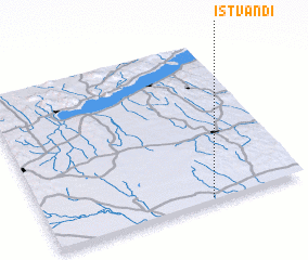 Places with similar names to Istvándi, Hungary :: Disclaimer :: Information on this page comes without warranty of any kind |
||
|
Where is Istvándi? Elevation and coordinates ::
Latitude (lat): 46°1'0"N Longitude (lon): 17°38'0"E
Elevation (approx.): 121m (map arrows pan, magnifying glasses zoom) |
||
|
Visiting Istvándi? Hotel/Accommodation ::
Book a hotel in Istvándi Travel Guide ::
Buy a travel guide for Hungary rental cars ::
car rental offers GPS waypoint ::
download a GPX waypoint (PoI) of Istvándi for your GPS receiver
|
||