|
search place name
|
||
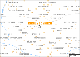
Királyegyháza (Baranya, Hungary)Királyegyháza is a town in the Baranya region of Hungary. An overview map of the region around Királyegyháza is displayed below.
regional and 3d topo map of Királyegyháza, Hungary ::
Királyegyháza airports ::
The nearest airport is OSI - Osijek, located 88.8 km south east of Királyegyháza.
Other airports nearby include ZAG - Zagreb (150.1 km west), BUD - Budapest Ferihegy (187.7 km north east), Nearby towns ::
Rigópuszta (2.3km south east) //
Szentdénes (2.6km west) //
Gyöngyfa (3.9km south) //
Kacsóta (3.9km north) //
Csonkamindszent (5.6km north) //
Magyarmecske (5.6km south) //
Szentlőrinc (5.7km north) //
Gerde (4.6km east) //
Csatahely (5.4km north west) //
Kisasszonyfa (6.7km south east) //
Ranódfapuszta (5.1km west) //
Sumony (5.7km south west) //
Szabadszentkirály (5.5km east) //
Magyartelek (7.5km south) //
Keresztespuszta (6.8km north east) //
Csobokapuszta (6.8km south west) //
Tarcsapuszta (6.3km north east) //
Cserdi (7.8km north) //
Nagyváty (7.8km north) //
Lajosháza (7.8km south) //
Nagypeterd (7.6km north west) //
Aligváritanya (7.6km south west) //
Ózdfalu (9.0km south east) //
[all distances 'as the bird flies' and approximate] 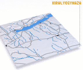 Places with similar names to Királyegyháza, Hungary :: Disclaimer :: Information on this page comes without warranty of any kind |
||
|
Where is Királyegyháza? Elevation and coordinates ::
Latitude (lat): 46°0'0"N Longitude (lon): 17°58'0"E
Elevation (approx.): 105m (map arrows pan, magnifying glasses zoom) |
||
|
Visiting Királyegyháza? Hotel/Accommodation ::
Book a hotel in Királyegyháza Travel Guide ::
Buy a travel guide for Hungary rental cars ::
car rental offers GPS waypoint ::
download a GPX waypoint (PoI) of Királyegyháza for your GPS receiver
|
||