|
search place name
|
||
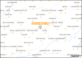
Kisrozvágy (Borsod-Abaúj-Zemplén, Hungary)Kisrozvágy is a town in the Borsod-Abaúj-Zemplén region of Hungary. An overview map of the region around Kisrozvágy is displayed below.
regional and 3d topo map of Kisrozvágy, Hungary ::
Kisrozvágy airports ::
The nearest airport is KSC - Kosice, located 62.9 km north west of Kisrozvágy.
Other airports nearby include DEB - Debrecen (99.0 km south), SUJ - Satu Mare (100.2 km south east), BAY - Baia Mare Tautii Magheraus (137.0 km south east), OMR - Oradea (147.3 km south), Nearby towns ::
Fügeditanya (1.2km west) //
Semjén (1.2km east) //
Ricse (2.2km south east) //
Nagyrozvágy (3.1km south west) //
Cséke (3.1km north east) //
Veľký Horeš (4.5km north west) //
Malý Horeš (5.6km north) //
Nagyhomok (5.6km south) //
Budahomok (5.6km south) //
Láca (4.1km north east) //
Lácacséke (4.1km north east) //
Buglyoska (4.1km north east) //
Pribeník (5.2km north east) //
Nagyégés (5.2km south west) //
Monyha (4.9km east) //
Szenna (6.2km south west) //
Kráľovský Chlmec (7.8km north) //
Bélatanya (8.3km south west) //
Szabolcsveresmart (7.4km south east) //
[all distances 'as the bird flies' and approximate] 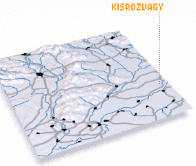 Places with similar names to Kisrozvágy, Hungary :: Disclaimer :: Information on this page comes without warranty of any kind |
||
|
Where is Kisrozvágy? Elevation and coordinates ::
Latitude (lat): 48°21'0"N Longitude (lon): 21°57'0"E
Elevation (approx.): 92m (map arrows pan, magnifying glasses zoom) |
||
|
Visiting Kisrozvágy? Hotel/Accommodation ::
Book a hotel in Kisrozvágy Travel Guide ::
Buy a travel guide for Hungary rental cars ::
car rental offers GPS waypoint ::
download a GPX waypoint (PoI) of Kisrozvágy for your GPS receiver
|
||