|
search place name
|
||
Kapliai Aukštieji (Lithuania)Kapliai Aukštieji is a town in Lithuania. An overview map of the region around Kapliai Aukštieji is displayed below.
regional and 3d topo map of Kapliai Aukštieji, Lithuania ::
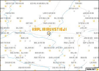
Nearby towns ::
Užkapiai (3.7km south) //
Kapliai Žemieji (2.1km east) //
Puplaukiai (3.7km north) //
Baldinkiai (4.3km south west) //
Beinaičiai (5.6km south) //
Aukupėnai (5.6km south) //
Stebuliai (5.7km north) //
Milžemiai (5.9km north) //
Vygiai (5.9km south) //
Skerdikai (4.9km north west) //
Lančiūnava (7.4km north) //
Bubleliai (4.6km south west) //
Pakščiai (4.6km south east) //
Arvystai (4.6km north west) //
Medvedai (6.4km north west) //
Akmeniai (7.7km south) //
Rudžiai (7.7km north) //
Pliupai (7.7km north) //
Pauliukai (5.6km south east) //
Katkai (5.6km north west) //
Pridotkai (5.6km north west) //
Strebeikiai (8.1km south east) //
Šilainiai (7.0km south west) //
Juškonys (7.0km south east) //
[all distances 'as the bird flies' and approximate] 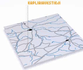 Places with similar names to Kapliai Aukštieji, Lithuania :: Disclaimer :: Information on this page comes without warranty of any kind |
||
|
Where is Kapliai Aukštieji? Elevation and coordinates ::
Latitude (lat): 55°17'0"N Longitude (lon): 24°9'0"E
Elevation (approx.): 51m (map arrows pan, magnifying glasses zoom) |
||
|
Visiting Kapliai Aukštieji? Hotel/Accommodation ::
Book a hotel in Kapliai Aukštieji Travel Guide ::
Buy a travel guide for Lithuania rental cars ::
car rental offers GPS waypoint ::
download a GPX waypoint (PoI) of Kapliai Aukštieji for your GPS receiver
|
||