|
search place name
|
||
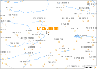
Lazdūnėnai (Lithuania)Lazdūnėnai is a town in Lithuania. An overview map of the region around Lazdūnėnai is displayed below.
regional and 3d topo map of Lazdūnėnai, Lithuania ::
Lazdūnėnai airports ::
The nearest airport is KGD - Kaliningrad Khrabrovo, located 95.0 km south west of Lazdūnėnai.
Nearby towns ::
Galnė (2.7km north west) //
Akmeniškiai (2.4km south west) //
Buikiškė (2.7km north west) //
Mediškiemiai (3.8km south west) //
Skiržemė (3.6km south east) //
Vainutas (5.2km north) //
Kelmyniškiai (5.6km north) //
Minjotai (6.2km south) //
Katyčiai (4.9km south west) //
Pėteraičiai (6.9km south) //
Trumpininkai (5.4km south east) //
Kivyliai (4.8km north east) //
Žalpiai (4.4km west) //
Versmėninkai (5.0km south west) //
Endrikaičiai (8.0km south) //
Uikšiai (6.9km south west) //
Skrodliai (7.3km south east) //
Balandiškė (6.9km north east) //
Stubriai (9.0km south west) //
[all distances 'as the bird flies' and approximate] 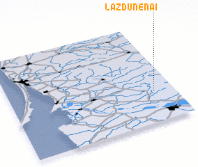 Places with similar names to Lazdūnėnai, Lithuania ::
// Lisdoonan (IE)
// Loosduinen (NL)
Disclaimer :: Information on this page comes without warranty of any kind |
||
|
Where is Lazdūnėnai? Elevation and coordinates ::
Latitude (lat): 55°19'8"N Longitude (lon): 21°52'49"E
Elevation (approx.): 53m (map arrows pan, magnifying glasses zoom) |
||
|
Visiting Lazdūnėnai? Hotel/Accommodation ::
Book a hotel in Lazdūnėnai Travel Guide ::
Buy a travel guide for Lithuania rental cars ::
car rental offers GPS waypoint ::
download a GPX waypoint (PoI) of Lazdūnėnai for your GPS receiver
|
||