|
search place name
|
||
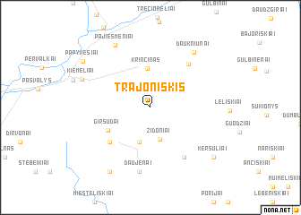
(( Trajoniškis )) (Panevėžio Apskritis, Lithuania)(( Trajoniškis )) is a town in the Panevėžio Apskritis region of Lithuania. An overview map of the region around (( Trajoniškis )) is displayed below.
regional and 3d topo map of (( Trajoniškis )), Lithuania ::
Nearby towns ::
Ličiūnai (2.6km north) //
Židoniai (4.0km south) //
Smilgiai (4.4km south) //
Daniliškiai (3.4km north east) //
Krinčinas (4.9km north) //
Girsūdai (4.1km south west) //
Baukai (5.2km south west) //
Barklainiai (6.1km north east) //
Čekiškis (6.6km south) //
Daujėnai (8.1km south) //
Daukniūnai (7.6km north east) //
Pajiešmeniai (8.1km north) //
Kiemeliai (5.9km north west) //
Baluškiai (8.5km south) //
Keršuliai (7.6km south east) //
Papyvesiai (7.4km north west) //
[all distances 'as the bird flies' and approximate] 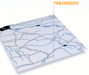 Places with similar names to (( Trajoniškis )), Lithuania :: Disclaimer :: Information on this page comes without warranty of any kind |
||
|
Where is (( Trajoniškis ))? Elevation and coordinates ::
Latitude (lat): 56°2'20"N Longitude (lon): 24°31'46"E
Elevation (approx.): 44m (map arrows pan, magnifying glasses zoom) |
||
|
Visiting (( Trajoniškis ))? Hotel/Accommodation ::
Book a hotel in (( Trajoniškis )) Travel Guide ::
Buy a travel guide for Lithuania rental cars ::
car rental offers GPS waypoint ::
download a GPX waypoint (PoI) of (( Trajoniškis )) for your GPS receiver
|
||