|
search place name
|
||
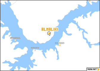
Al Mālikī (Aswān, Egypt)Al Mālikī is a town in the Aswān region of Egypt. An overview map of the region around Al Mālikī is displayed below.
regional and 3d topo map of Al Mālikī, Egypt ::
Al Mālikī airports ::
The nearest airport is ABS - Abu Simbel, located 85.0 km west of Al Mālikī.
Other airports nearby include ASW - Aswan Intl (152.3 km north), Nearby towns ::
As Sinqārī (5.0km south east) //
Kuruskū (7.6km south west) //
[all distances 'as the bird flies' and approximate]  Places with similar names to Al Mālikī, Egypt ::
// Al Malaqah (EG)
// Al Malāqī (LY)
// Al Milk (SY)
// Al Mu‘allaqah (TN)
// (( Almaluk )) (RU)
// ‘Alī Molk (IR)
// Al Malqāʼ (SA)
// ‘Alam Lek (AF)
// Al Mu‘ayliq (SD)
// Alma Lake (US)
Disclaimer :: Information on this page comes without warranty of any kind |
||
|
Where is Al Mālikī? Elevation and coordinates ::
Latitude (lat): 22°39'0"N Longitude (lon): 32°23'0"E
Elevation (approx.): 188m (map arrows pan, magnifying glasses zoom) |
||
|
Visiting Al Mālikī? Hotel/Accommodation ::
Book a hotel in Al Mālikī Travel Guide ::
Buy a travel guide for Egypt rental cars ::
car rental offers GPS waypoint ::
download a GPX waypoint (PoI) of Al Mālikī for your GPS receiver
|
||