|
search place name
|
||
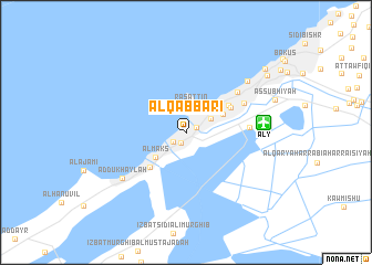
Al Qabbārī (Al Iskandarīyah, Egypt)Al Qabbārī is a town in the Al Iskandarīyah region of Egypt. An overview map of the region around Al Qabbārī is displayed below.
regional and 3d topo map of Al Qabbārī, Egypt ::
Al Qabbārī airports ::
The nearest airport is ALY - Alexandria Intl, located 6.8 km east of Al Qabbārī.
Other airports nearby include CAI - Cairo Intl (187.3 km south east), Nearby towns ::
Mīnāʼ al Başal (1.1km north east) //
Al Wardiyān (1.2km south) //
‘Izbat al Mitrās (1.5km south west) //
Raʼs at Tīn (2.8km north) //
Karmūs (2.5km north east) //
Al Maks (3.7km south west) //
Muḩarram Bey (3.7km north east) //
Ash Shāţibī (4.5km north east) //
‘Izbat Wādī al Qamar (4.7km south west) //
Al Iskandarīyah (4.6km north east) //
‘Izbat Nādī aş Şayd (5.5km east) //
Al Ibrāhīmīyah (6.0km north east) //
Al Ḩaḑrah (5.8km north east) //
Ad Dukhaylah (7.2km south west) //
Sīdī Jābir (7.4km north east) //
Muşţafá Bāshā (9.1km north east) //
Bulkeley (9.4km north east) //
[all distances 'as the bird flies' and approximate]  Places with similar names to Al Qabbārī, Egypt ::
// Al Qubūr (IQ)
// Alguber (PT)
// Alquebre (PT)
// Alcabre (ES)
// Alcubierre (ES)
// Āli Ākbari (BD)
// Alecou Baru (TP)
// Al Qabr (SD)
// Ali Akbar (PK)
// Al Kabrī (SY)
Disclaimer :: Information on this page comes without warranty of any kind |
||
|
Where is Al Qabbārī? Elevation and coordinates ::
Latitude (lat): 31°10'32"N Longitude (lon): 29°52'42"E
Elevation (approx.): 9m (map arrows pan, magnifying glasses zoom) |
||
|
Visiting Al Qabbārī? Hotel/Accommodation ::
Book a hotel in Al Qabbārī Travel Guide ::
Buy a travel guide for Egypt rental cars ::
car rental offers GPS waypoint ::
download a GPX waypoint (PoI) of Al Qabbārī for your GPS receiver
|
||