|
search place name
|
||
Šņitņiki (Rēzeknes Rajons, Latvia)Šņitņiki is a town in the Rēzeknes Rajons region of Latvia. An overview map of the region around Šņitņiki is displayed below.
regional and 3d topo map of Šņitņiki, Latvia ::

Nearby towns ::
Knutova (1.9km north) //
Čornaja (1.9km south) //
Treuhi (1.9km north) //
Melnais Dūkstigals (2.1km south west) //
Balinava (2.1km east) //
Baltais Dukstgals (3.8km south) //
Reiki (3.8km north) //
Bratova (3.1km west) //
Balāni (5.9km south) //
Vagaļi (4.5km north east) //
Kaipi (4.5km south east) //
Pritika (5.5km north east) //
Janopole (7.7km north) //
Foļvarkova (6.9km south east) //
Višķeri (6.9km south west) //
Staroščiki (8.0km north west) //
Rabskaja (8.0km south west) //
Jaroškina (8.0km north east) //
Zosna (8.5km south west) //
[all distances 'as the bird flies' and approximate] 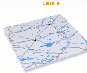 Places with similar names to Šņitņiki, Latvia ::
Disclaimer :: Information on this page comes without warranty of any kind |
||
|
Where is Šņitņiki? Elevation and coordinates ::
Latitude (lat): 56°24'0"N Longitude (lon): 27°25'0"E
Elevation (approx.): 172m (map arrows pan, magnifying glasses zoom) |
||
|
Visiting Šņitņiki? Hotel/Accommodation ::
Book a hotel in Šņitņiki Travel Guide ::
Buy a travel guide for Latvia rental cars ::
car rental offers GPS waypoint ::
download a GPX waypoint (PoI) of Šņitņiki for your GPS receiver
|
||