|
search place name
|
||
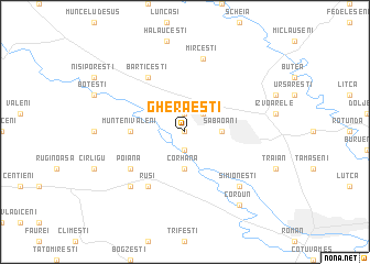
Gherăeşti (Covurlui, Romania)Gherăeşti is a town in the Covurlui region of Romania. An overview map of the region around Gherăeşti is displayed below.
regional and 3d topo map of Gherăeşti, Romania ::
Gherăeşti airports ::
The nearest airport is BCM - Bacau, located 55.5 km south of Gherăeşti.
Other airports nearby include IAS - Iasi (63.6 km east), SCV - Suceava Stefan Cel Mare (82.4 km north west), TCE - Tulcea Cataloi (262.2 km south east), Nearby towns ::
Gheorghe Doja (0.0km north) //
Iugani (1.9km north) //
Pildeşti (1.9km south) //
Teţcani (2.2km north east) //
Săbăoani (2.5km east) //
Lecuşeni (2.5km east) //
Corhana (3.7km south) //
Munteni Gherăeşti (3.8km west) //
Munteni Văleni (3.8km west) //
Bărticeşti (6.1km north west) //
Poiana (5.3km south west) //
Ruşi (6.1km south west) //
Mirceşti (7.5km north) //
Dulceşti (6.7km south west) //
Simioneşti (6.7km south east) //
Cordun (8.3km south east) //
[all distances 'as the bird flies' and approximate] 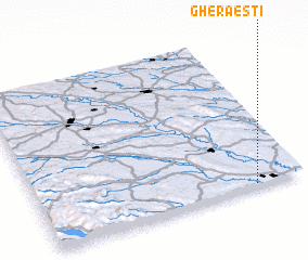 Places with similar names to Gherăeşti, Romania ::
Disclaimer :: Information on this page comes without warranty of any kind |
||
|
Where is Gherăeşti? Elevation and coordinates ::
Latitude (lat): 47°1'0"N Longitude (lon): 26°49'0"E
Elevation (approx.): 210m (map arrows pan, magnifying glasses zoom) |
||
|
Visiting Gherăeşti? Hotel/Accommodation ::
Book a hotel in Gherăeşti Travel Guide ::
Buy a travel guide for Romania rental cars ::
car rental offers GPS waypoint ::
download a GPX waypoint (PoI) of Gherăeşti for your GPS receiver
|
||