|
search place name
|
||
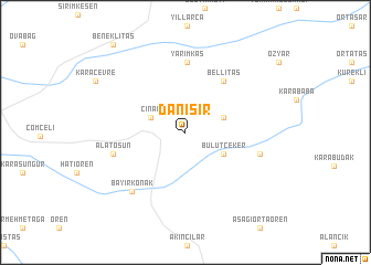
Danışır (Diyarbakır, Turkey)Danışır is a town in the Diyarbakır region of Turkey. An overview map of the region around Danışır is displayed below.
regional and 3d topo map of Danışır, Turkey ::
Danışır airports ::
The nearest airport is DIY - Diyabakir Diyarbakir, located 29.2 km north of Danışır.
Other airports nearby include BAL - Batman (92.6 km east), EZS - Elazig (130.5 km north west), Nearby towns ::
Çınar (3.2km north west) //
Çakırkaya (3.4km north east) //
Bulutçeker (3.8km south east) //
Bellitaş (6.0km north east) //
Yarımkaş (7.0km north) //
Alatosun (6.2km west) //
Gözenek (6.4km east) //
Bayırkonak (7.3km south west) //
Beneklitaş (10.6km north west) //
[all distances 'as the bird flies' and approximate] 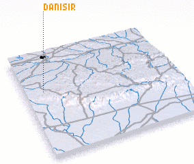 Places with similar names to Danışır, Turkey ::
// Tanessar (MA)
// Da-an Sur (PH)
// Dinosaur (US)
// Duna Sor (HU)
// Tõnissaare (EE)
// Dansür (TR)
// Dansar (IR)
// Deh Naz̄rī (IR)
// Dīneh Sar (IR)
// Dīneh Sar (IR)
Disclaimer :: Information on this page comes without warranty of any kind |
||
|
Where is Danışır? Elevation and coordinates ::
Latitude (lat): 37°38'12"N Longitude (lon): 40°7'55"E
Elevation (approx.): 876m (map arrows pan, magnifying glasses zoom) |
||
|
Visiting Danışır? Hotel/Accommodation ::
Book a hotel in Danışır Travel Guide ::
Buy a travel guide for Turkey rental cars ::
car rental offers GPS waypoint ::
download a GPX waypoint (PoI) of Danışır for your GPS receiver
|
||