|
search place name
|
||
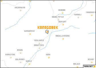
Karagöbek (Erzurum, Turkey)Karagöbek is a town in the Erzurum region of Turkey. An overview map of the region around Karagöbek is displayed below.
regional and 3d topo map of Karagöbek, Turkey ::
Karagöbek airports ::
The nearest airport is ERZ - Erzurum, located 32.2 km south west of Karagöbek.
Other airports nearby include TZX - Trabzon (166.6 km north west), ERC - Erzincan (170.4 km west), VAN - Van (249.9 km south east), Nearby towns ::
Yeşildere (4.5km south west) //
Abdullahkomu (4.8km east) //
Söğütyanı (6.1km south west) //
Güzelyayla (6.4km north east) //
Şenyurt (5.8km north east) //
Güngörmez (5.4km west) //
Akbaba (9.3km north east) //
[all distances 'as the bird flies' and approximate] 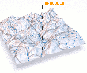 Places with similar names to Karagöbek, Turkey ::
// Gürçubuk (TR)
// Karaçubuk (TR)
// Guérégabougou (ML)
// Karokobougou (ML)
// Kirkebæk (DK)
// Kråkebäck (SE)
// Krokbäck (SE)
// Karakabak (CN)
// Kyrkbacka (FI)
// Carrickbeg (IE)
Disclaimer :: Information on this page comes without warranty of any kind |
||
|
Where is Karagöbek? Elevation and coordinates ::
Latitude (lat): 40°9'59"N Longitude (lon): 41°25'50"E
Elevation (approx.): 2003m (map arrows pan, magnifying glasses zoom) |
||
|
Visiting Karagöbek? Hotel/Accommodation ::
Book a hotel in Karagöbek Travel Guide ::
Buy a travel guide for Turkey rental cars ::
car rental offers GPS waypoint ::
download a GPX waypoint (PoI) of Karagöbek for your GPS receiver
|
||