|
search place name
|
||
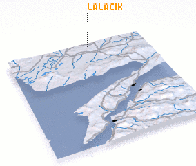
Lalacık (Edirne, Turkey)Lalacık is a town in the Edirne region of Turkey. An overview map of the region around Lalacık is displayed below.
regional and 3d topo map of Lalacık, Turkey ::

Lalacık airports ::
The nearest airport is AXD - Alexandroupolis Dimokritos, located 55.6 km west of Lalacık.
Other airports nearby include BDM - Bandirma (137.0 km south east), LXS - Limnos (164.2 km south west), KVA - Kavala Megas Alexandros Intl (166.9 km west), BZI - Balikesir (187.3 km south east), Nearby towns ::
 Places with similar names to Lalacık, Turkey ::
// Leliškiai (LT)
// Liuliškiai (LT)
// Lulišķi (LV)
// Leleasca (RO)
// Loloiasca (RO)
// Lal'sk (RU)
// Lalisuk (ID)
// Lalosuk (ID)
// Lāl Saggu (PK)
// Ley-Lussac (FR)
Disclaimer :: Information on this page comes without warranty of any kind |
||
|
Where is Lalacık? Elevation and coordinates ::
Latitude (lat): 40°58'0"N Longitude (lon): 26°36'0"E
Elevation (approx.): 177m (map arrows pan, magnifying glasses zoom) |
||
|
Visiting Lalacık? Hotel/Accommodation ::
Book a hotel in Lalacık Travel Guide ::
Buy a travel guide for Turkey rental cars ::
car rental offers GPS waypoint ::
download a GPX waypoint (PoI) of Lalacık for your GPS receiver
|
||