|
search place name
|
||
Namazgâh (Çanakkale, Turkey)Namazgâh is a town in the Çanakkale region of Turkey. An overview map of the region around Namazgâh is displayed below.
regional and 3d topo map of Namazgâh, Turkey ::

Namazgâh airports ::
The nearest airport is BZI - Balikesir, located 61.1 km south east of Namazgâh.
Other airports nearby include BDM - Bandirma (75.3 km north east), MJT - Mytilini Mitilini (109.9 km south west), IGL - Izmir Cigli (154.2 km south), AXD - Alexandroupolis Dimokritos (157.1 km north west), Nearby towns ::
Namazgâhköy see Namazgâh (0.0km north) //
Namaz see Namazgâh (0.0km north) //
Engece (3.7km south) //
Umurlar (4.1km east) //
Kargacı (6.5km south) //
Seyvan (6.2km north east) //
Hamdibey (5.8km south west) //
Yenice (6.4km north west) //
Nevruz (8.1km north) //
Çakır (8.6km north east) //
[all distances 'as the bird flies' and approximate] 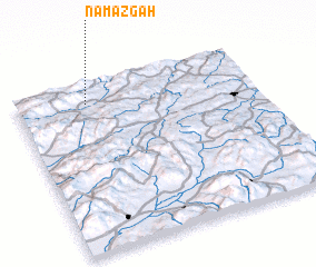 Places with similar names to Namazgâh, Turkey ::
// Namhsawk (MM)
// Namhsai-hkao (MM)
// Namhsu-hka (MM)
// Namhsuhka (MM)
// Namazgah (AZ)
// Nammawsawk (MM)
// Namsai Hkau (MM)
// Nemeske (HU)
// Namsk (RU)
// Namskiy (RU)
Disclaimer :: Information on this page comes without warranty of any kind |
||
|
Where is Namazgâh? Elevation and coordinates ::
Latitude (lat): 39°53'0"N Longitude (lon): 27°18'0"E
Elevation (approx.): 515m (map arrows pan, magnifying glasses zoom) |
||
|
Visiting Namazgâh? Hotel/Accommodation ::
Book a hotel in Namazgâh Travel Guide ::
Buy a travel guide for Turkey rental cars ::
car rental offers GPS waypoint ::
download a GPX waypoint (PoI) of Namazgâh for your GPS receiver
|
||