|
search place name
|
||
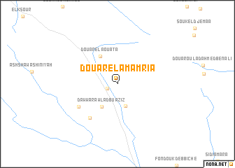
Douar el Amamria (El Kef, Tunisia)Douar el Amamria is a town in the El Kef region of Tunisia. An overview map of the region around Douar el Amamria is displayed below.
regional and 3d topo map of Douar el Amamria, Tunisia ::
Douar el Amamria airports ::
The nearest airport is TEE - Tebessa Cheikh Larbi Tebessi, located 91.3 km south west of Douar el Amamria.
Other airports nearby include GAF - Gafsa (153.9 km south), MIR - Monastir Habib Bourguiba Intl (156.7 km east), AAE - Annaba (157.4 km north west), TUN - Tunis Carthage (159.1 km north east), Nearby towns ::
Fouk Ahmed el Aïfa (1.4km south west) //
Douar Jouf es Sbiba (3.3km north west) //
Douar Oulad Zitoun (3.7km south) //
Dawwār Awlād Bū ‘Azīz (4.2km south west) //
Douar el Aouata (4.9km north west) //
Dawwār al Qawādirīyah (6.5km south west) //
Awlād Marzūq (6.2km south west) //
[all distances 'as the bird flies' and approximate] 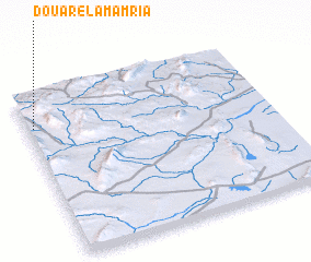 Places with similar names to Douar el Amamria, Tunisia :: Disclaimer :: Information on this page comes without warranty of any kind |
||
|
Where is Douar el Amamria? Elevation and coordinates ::
Latitude (lat): 35°47'57"N Longitude (lon): 9°1'22"E
Elevation (approx.): 781m (map arrows pan, magnifying glasses zoom) |
||
|
Visiting Douar el Amamria? Hotel/Accommodation ::
Book a hotel in Douar el Amamria Travel Guide ::
Buy a travel guide for Tunisia rental cars ::
car rental offers GPS waypoint ::
download a GPX waypoint (PoI) of Douar el Amamria for your GPS receiver
|
||