|
search place name
|
||
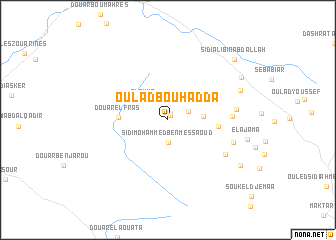
Oulad Bou Hadda (El Kef, Tunisia)Oulad Bou Hadda is a town in the El Kef region of Tunisia. An overview map of the region around Oulad Bou Hadda is displayed below.
regional and 3d topo map of Oulad Bou Hadda, Tunisia ::
Oulad Bou Hadda airports ::
The nearest airport is TEE - Tebessa Cheikh Larbi Tebessi, located 102.3 km south west of Oulad Bou Hadda.
Other airports nearby include TUN - Tunis Carthage (145.0 km north east), AAE - Annaba (147.1 km north west), MIR - Monastir Habib Bourguiba Intl (155.6 km east), GAF - Gafsa (171.5 km south), Nearby towns ::
Oulad el Houra (0.6km north) //
El Bey (0.8km north) //
Douar Rebta (2.1km north east) //
Sidi Mohammed Ben Messaoud (2.5km south) //
Sleïmia (3.0km north west) //
El Menzel (3.2km east) //
Douar el Fras (4.5km west) //
Ellès (4.6km east) //
Douar Ben Diffalah (5.8km east) //
Douar Laater (6.5km south east) //
Douar el Debabsa (6.3km east) //
Douar Ben Mahmoud (6.4km south east) //
Douar Salah Ben Abda (7.3km north east) //
Douar Jaouel (8.2km north east) //
El Mechref (8.3km south east) //
Sīdī ‘Alī Bin ‘Abd Allāh (9.0km north east) //
[all distances 'as the bird flies' and approximate] 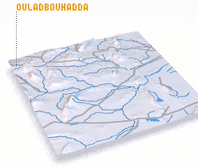 Places with similar names to Oulad Bou Hadda, Tunisia ::
// Ouled Bou Haddou (MA)
Disclaimer :: Information on this page comes without warranty of any kind |
||
|
Where is Oulad Bou Hadda? Elevation and coordinates ::
Latitude (lat): 35°57'22"N Longitude (lon): 9°2'59"E
Elevation (approx.): 675m (map arrows pan, magnifying glasses zoom) |
||
|
Visiting Oulad Bou Hadda? Hotel/Accommodation ::
Book a hotel in Oulad Bou Hadda Travel Guide ::
Buy a travel guide for Tunisia rental cars ::
car rental offers GPS waypoint ::
download a GPX waypoint (PoI) of Oulad Bou Hadda for your GPS receiver
|
||