|
search place name
|
||
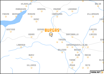
Burgás (Cataluña, Spain)Burgás is a town in the Cataluña region of Spain. An overview map of the region around Burgás is displayed below.
regional and 3d topo map of Burgás, Spain ::
Burgás airports ::
The nearest airport is LCG - La Coruna A Coruna, located 48.3 km west of Burgás.
Other airports nearby include SCQ - Santiago (70.7 km south west), VGO - Vigo (140.5 km south west), OVD - Aviles Asturias (143.8 km east), BGC - Braganca (186.2 km south east), Nearby towns ::
Cazás (2.3km south east) //
Candamil (2.3km north east) //
Codesido (3.3km south east) //
Tardad (3.3km south east) //
Germade (3.3km north west) //
Belesar (6.2km south east) //
Distriz (5.5km south east) //
Santaballa (5.4km east) //
Momán (5.4km west) //
Cabreiros (7.5km north) //
Miraz (6.9km north west) //
Gondaísque (6.5km south east) //
Buriz (9.2km south west) //
Piñeiro (9.2km north west) //
[all distances 'as the bird flies' and approximate] 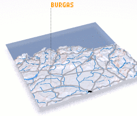 Places with similar names to Burgás, Spain ::
Disclaimer :: Information on this page comes without warranty of any kind |
||
|
Where is Burgás? Elevation and coordinates ::
Latitude (lat): 43°20'0"N Longitude (lon): 7°47'0"W
Elevation (approx.): 468m (map arrows pan, magnifying glasses zoom) |
||
|
Visiting Burgás? Hotel/Accommodation ::
Book a hotel in Burgás Travel Guide ::
Buy a travel guide for Spain rental cars ::
car rental offers GPS waypoint ::
download a GPX waypoint (PoI) of Burgás for your GPS receiver
|
||