|
search place name
|
||
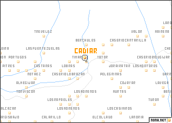
Cádiar (Andalucía, Spain)Cádiar is a town in the Andalucía region of Spain. An overview map of the region around Cádiar is displayed below.
regional and 3d topo map of Cádiar, Spain ::
Cádiar airports ::
The nearest airport is GRX - Granada Armilla, located 45.1 km north west of Cádiar.
Other airports nearby include GRX - Granada (59.1 km north west), LEI - Almeria (73.4 km east), AGP - Malaga (121.3 km west), ODB - Cordoba (177.6 km north west), Nearby towns ::
Narila (0.0km north) //
Alcútar (1.9km north) //
Tímar (1.5km west) //
Bérchules (3.7km north) //
Yátor (3.0km east) //
Juviles (3.0km west) //
Golco (3.5km north east) //
Caserío Bulumor (4.0km south) //
Lobras (3.5km south west) //
Mecina Bombarón (4.7km north east) //
Caserío Lobrazán (4.7km south west) //
Nieles (4.8km south west) //
Yegen (5.8km north east) //
Pelegrinas (5.8km south east) //
Los Morenos (7.4km south) //
La Rambla del Banco (7.4km south) //
Jorairátar (6.2km east) //
Los Garcías (7.6km south) //
Los Mateos (8.0km south) //
Mecina Tedel (8.1km south east) //
Murtas (9.5km south east) //
[all distances 'as the bird flies' and approximate] 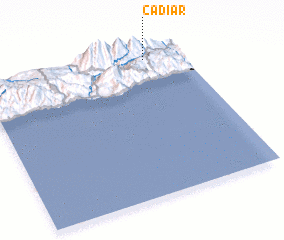 Places with similar names to Cádiar, Spain ::
Disclaimer :: Information on this page comes without warranty of any kind |
||
|
Where is Cádiar? Elevation and coordinates ::
Latitude (lat): 36°57'0"N Longitude (lon): 3°11'0"W
Elevation (approx.): 937m (map arrows pan, magnifying glasses zoom) |
||
|
Visiting Cádiar? Hotel/Accommodation ::
Book a hotel in Cádiar Travel Guide ::
Buy a travel guide for Spain rental cars ::
car rental offers GPS waypoint ::
download a GPX waypoint (PoI) of Cádiar for your GPS receiver
|
||