|
search place name
|
||
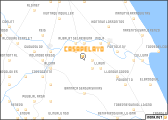
Casa Pelayo (Comunidad Valenciana, Spain)Casa Pelayo is a town in the Comunidad Valenciana region of Spain. An overview map of the region around Casa Pelayo is displayed below.
regional and 3d topo map of Casa Pelayo, Spain ::
Casa Pelayo airports ::
The nearest airport is VLC - Valencia, located 37.2 km north of Casa Pelayo.
Other airports nearby include ALC - Alicante (99.6 km south), IBZ - Ibiza (154.2 km east), MJV - Murcia San Javier (159.3 km south), REU - Reus (255.8 km north east), Nearby towns ::
Monte San Miguel (1.4km east) //
Benicull (2.3km north west) //
Corbera de Alcira (2.3km south east) //
Poliñá de Júcar (3.7km north) //
Albalat de la Ribera (4.0km north) //
Llaurí (3.4km south east) //
Riola (4.7km north east) //
Sueca (5.7km north east) //
Barraca de Aguas Vivas (7.4km south) //
Algemesí (6.0km west) //
Alcira (6.0km west) //
Fortaleny (6.0km east) //
Llano de Gorra (6.8km south east) //
Monte de los Santos (8.6km north east) //
Les Barraques (8.0km south west) //
[all distances 'as the bird flies' and approximate] 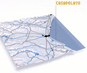 Places with similar names to Casa Pelayo, Spain ::
// Kasplya (RU)
// Kuzopol'ye (RU)
Disclaimer :: Information on this page comes without warranty of any kind |
||
|
Where is Casa Pelayo? Elevation and coordinates ::
Latitude (lat): 39°10'0"N Longitude (lon): 0°22'0"W
Elevation (approx.): 20m (map arrows pan, magnifying glasses zoom) |
||
|
Visiting Casa Pelayo? Hotel/Accommodation ::
Book a hotel in Casa Pelayo Travel Guide ::
Buy a travel guide for Spain rental cars ::
car rental offers GPS waypoint ::
download a GPX waypoint (PoI) of Casa Pelayo for your GPS receiver
|
||