|
search place name
|
||
La Rebollada (Asturias, Spain)La Rebollada is a town in the Asturias region of Spain. An overview map of the region around La Rebollada is displayed below.
regional and 3d topo map of La Rebollada, Spain ::

La Rebollada airports ::
The nearest airport is OVD - Aviles Asturias, located 55.2 km north east of La Rebollada.
Other airports nearby include BGC - Braganca (143.2 km south), VLL - Valladolid (198.5 km south east), VRL - Vila Real (234.5 km south west), Nearby towns ::
Pigüeña (1.9km north) //
Corés (1.4km east) //
Villar de Vildas (1.9km south) //
Robledo (3.7km north) //
Pigüeces (3.9km north) //
Santullano (5.7km north) //
Los Llanos (5.5km north west) //
Perlunes (5.5km south east) //
Pineda (5.7km east) //
Aguino (5.7km east) //
Ridera (6.9km north west) //
Genestoso (6.9km south west) //
Cuevas (7.9km north) //
Santiago del Hermo (7.8km north east) //
[all distances 'as the bird flies' and approximate] 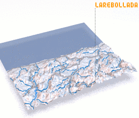 Places with similar names to La Rebollada, Spain ::
// La Arboleda (CU)
// La Arboleda (CU)
// La Rebollada (ES)
// La Rebollada (ES)
// La Rebolleda (ES)
// La Arrobleda (CO)
// La Arboleda (MX)
// La Arboleda (VE)
// La Rebollada (ES)
// La Arboleda (ES)
Disclaimer :: Information on this page comes without warranty of any kind |
||
|
Where is La Rebollada? Elevation and coordinates ::
Latitude (lat): 43°7'0"N Longitude (lon): 6°20'0"W
Elevation (approx.): 903m (map arrows pan, magnifying glasses zoom) |
||
|
Visiting La Rebollada? Hotel/Accommodation ::
Book a hotel in La Rebollada Travel Guide ::
Buy a travel guide for Spain rental cars ::
car rental offers GPS waypoint ::
download a GPX waypoint (PoI) of La Rebollada for your GPS receiver
|
||