|
search place name
|
||
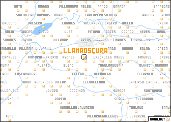
Llamaoscura (Asturias, Spain)Llamaoscura is a town in the Asturias region of Spain. An overview map of the region around Llamaoscura is displayed below.
regional and 3d topo map of Llamaoscura, Spain ::
Llamaoscura airports ::
The nearest airport is OVD - Aviles Asturias, located 29.6 km north west of Llamaoscura.
Other airports nearby include BGC - Braganca (178.4 km south west), VLL - Valladolid (198.5 km south east), Nearby towns ::
Los Prietos (0.0km north) //
Pereda (1.9km south) //
Latores (1.3km west) //
Morente (1.3km east) //
Ferreros (2.3km south west) //
Manjoya (2.3km north east) //
Las Cruces (2.7km east) //
Ayones (2.7km west) //
Sardín (3.7km south) //
Arcos (3.7km north) //
Godejal (3.3km south east) //
Santianes (3.3km south east) //
Manzaneda (3.3km south east) //
Santa Eulalia (3.3km south east) //
Bueño (3.3km south west) //
El Pueblo (3.3km north east) //
Tellego (3.9km south) //
Oviedo (3.9km north) //
Olloniego (4.6km south east) //
Argamé (4.6km south west) //
Soto de Rey (4.6km south west) //
Prados (4.6km north east) //
Bendones (4.0km east) //
Tudela-Agüeria (4.4km south east) //
Llendellana (5.7km south) //
Fitoria (5.7km north) //
Figares (5.7km south) //
Lillo (5.7km north) //
Baiña (5.7km south) //
[all distances 'as the bird flies' and approximate] 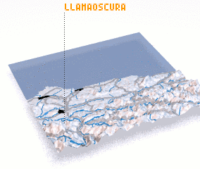 Places with similar names to Llamaoscura, Spain ::
Disclaimer :: Information on this page comes without warranty of any kind |
||
|
Where is Llamaoscura? Elevation and coordinates ::
Latitude (lat): 43°20'0"N Longitude (lon): 5°51'0"W
Elevation (approx.): 217m (map arrows pan, magnifying glasses zoom) |
||
|
Visiting Llamaoscura? Hotel/Accommodation ::
Book a hotel in Llamaoscura Travel Guide ::
Buy a travel guide for Spain rental cars ::
car rental offers GPS waypoint ::
download a GPX waypoint (PoI) of Llamaoscura for your GPS receiver
|
||