|
search place name
|
||
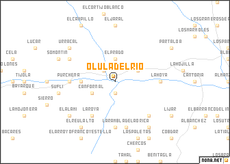
Olula del Río (Andalucía, Spain)Olula del Río is a town in the Andalucía region of Spain. An overview map of the region around Olula del Río is displayed below.
regional and 3d topo map of Olula del Río, Spain ::
Olula del Río airports ::
The nearest airport is LEI - Almeria, located 56.5 km south of Olula del Río.
Other airports nearby include GRX - Granada Armilla (120.9 km west), GRX - Granada (132.3 km west), MJV - Murcia San Javier (139.6 km east), ALC - Alicante (185.0 km north east), Nearby towns ::
Los Carriles (1.9km south) //
Macael (1.9km south) //
Huimayor (2.4km north west) //
El Prado (3.7km north) //
Fines (3.5km north east) //
Canfornal (3.5km south west) //
Estación de Purchena (4.4km west) //
Laroya (6.3km south west) //
El Marchal (7.4km south) //
La Hoya (5.9km east) //
Purchena (5.9km west) //
La Rambla de la Orica (7.6km south) //
Las Huertecicas Altas (7.1km south east) //
Campo Bajo (7.0km north west) //
Urrácal (8.1km north west) //
La Boquera (8.6km south east) //
El Reul Alto (8.6km south west) //
El Alamí (8.1km south west) //
[all distances 'as the bird flies' and approximate] 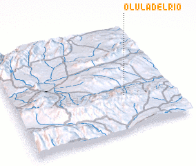 Places with similar names to Olula del Río, Spain :: Disclaimer :: Information on this page comes without warranty of any kind |
||
|
Where is Olula del Río? Elevation and coordinates ::
Latitude (lat): 37°21'0"N Longitude (lon): 2°18'0"W
Elevation (approx.): 461m (map arrows pan, magnifying glasses zoom) |
||
|
Visiting Olula del Río? Hotel/Accommodation ::
Book a hotel in Olula del Río Travel Guide ::
Buy a travel guide for Spain rental cars ::
car rental offers GPS waypoint ::
download a GPX waypoint (PoI) of Olula del Río for your GPS receiver
|
||