|
search place name
|
||
San Pedro de la Viña (Castilla y León, Spain)San Pedro de la Viña is a town in the Castilla y León region of Spain. An overview map of the region around San Pedro de la Viña is displayed below.
regional and 3d topo map of San Pedro de la Viña, Spain ::

San Pedro de la Viña airports ::
The nearest airport is BGC - Braganca, located 63.2 km south west of San Pedro de la Viña.
Other airports nearby include VLL - Valladolid (106.1 km south east), SLM - Salamanca (134.5 km south), OVD - Aviles Asturias (162.6 km north), VRL - Vila Real (168.9 km south west), Nearby towns ::
Carracedo (1.4km west) //
Fuente Encalada (2.3km north east) //
Santibáñez de Vidriales (3.7km south) //
Rosinos de Vidriales (3.3km south east) //
Tardemézar (3.3km south east) //
Brime de Sog (4.6km south west) //
Ayoó de Vidriales (5.5km north west) //
Bercianos de Vidriales (5.5km south east) //
Villageriz (5.8km east) //
San Pedro de Ceque (6.9km south west) //
San Juanico el Nuevo (7.9km south) //
Pozuelo de Vidriales (8.5km south east) //
[all distances 'as the bird flies' and approximate] 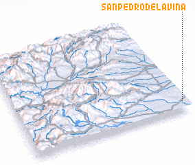 Places with similar names to San Pedro de la Viña, Spain :: Disclaimer :: Information on this page comes without warranty of any kind |
||
|
Where is San Pedro de la Viña? Elevation and coordinates ::
Latitude (lat): 42°6'0"N Longitude (lon): 6°1'0"W
Elevation (approx.): 750m (map arrows pan, magnifying glasses zoom) |
||
|
Visiting San Pedro de la Viña? Hotel/Accommodation ::
Book a hotel in San Pedro de la Viña Travel Guide ::
Buy a travel guide for Spain rental cars ::
car rental offers GPS waypoint ::
download a GPX waypoint (PoI) of San Pedro de la Viña for your GPS receiver
|
||