|
search place name
|
||
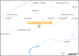
Tejeda de Tiétar (Extremadura, Spain)Tejeda de Tiétar is a town in the Extremadura region of Spain. An overview map of the region around Tejeda de Tiétar is displayed below.
regional and 3d topo map of Tejeda de Tiétar, Spain ::
Tejeda de Tiétar airports ::
The nearest airport is SLM - Salamanca, located 108.4 km north of Tejeda de Tiétar.
Other airports nearby include BJZ - Badajoz Talavera La Real (149.5 km south west), VLL - Valladolid (206.2 km north east), VRL - Vila Real (210.0 km north west), BGC - Braganca (216.4 km north), Nearby towns ::
Arroyomolinos de la Vera (4.0km north) //
Pasarón (5.6km north east) //
Gargüera (5.6km north west) //
Barrado (7.5km north) //
Torre de Paniagua (6.0km west) //
[all distances 'as the bird flies' and approximate] 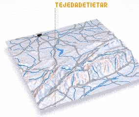 Places with similar names to Tejeda de Tiétar, Spain :: Disclaimer :: Information on this page comes without warranty of any kind |
||
|
Where is Tejeda de Tiétar? Elevation and coordinates ::
Latitude (lat): 40°1'0"N Longitude (lon): 5°52'0"W
Elevation (approx.): 424m (map arrows pan, magnifying glasses zoom) |
||
|
Visiting Tejeda de Tiétar? Hotel/Accommodation ::
Book a hotel in Tejeda de Tiétar Travel Guide ::
Buy a travel guide for Spain rental cars ::
car rental offers GPS waypoint ::
download a GPX waypoint (PoI) of Tejeda de Tiétar for your GPS receiver
|
||