|
search place name
|
||
Torre de Esera (Aragón, Spain)Torre de Esera is a town in the Aragón region of Spain. An overview map of the region around Torre de Esera is displayed below.
regional and 3d topo map of Torre de Esera, Spain ::

Torre de Esera airports ::
The nearest airport is LEU - Seo De Urgel, located 88.4 km east of Torre de Esera.
Other airports nearby include LDE - Tarbes Lourdes (110.8 km north), ZAZ - Zaragoza Ab (130.6 km south west), REU - Reus (136.9 km south east), PUF - Pau Pyrenees (143.7 km north west), Nearby towns ::
Santa Lucía (1.9km north) //
Torre de Obato (1.9km north) //
Grustán (2.7km west) //
Graus (4.0km south) //
Perarvúa (5.6km north) //
Panillo (4.5km north west) //
Capella (4.5km south east) //
Arués (6.2km north west) //
Besiáns (7.4km north) //
La Puebla de Fantova (6.9km north east) //
Pano (6.6km north west) //
La Puebla de Castro (8.5km south west) //
[all distances 'as the bird flies' and approximate] 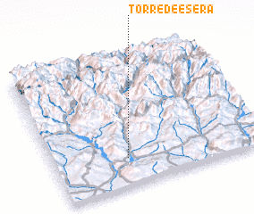 Places with similar names to Torre de Esera, Spain ::
// Dārtū-i Saru (IQ)
// Dourti Souar (TD)
// Taratsar (IN)
// Tirtasari (ID)
// Tirtasari (ID)
// Douar Oued Zrâa (MA)
Disclaimer :: Information on this page comes without warranty of any kind |
||
|
Where is Torre de Esera? Elevation and coordinates ::
Latitude (lat): 42°13'0"N Longitude (lon): 0°21'0"W
Elevation (approx.): 477m (map arrows pan, magnifying glasses zoom) |
||
|
Visiting Torre de Esera? Hotel/Accommodation ::
Book a hotel in Torre de Esera Travel Guide ::
Buy a travel guide for Spain rental cars ::
car rental offers GPS waypoint ::
download a GPX waypoint (PoI) of Torre de Esera for your GPS receiver
|
||