|
search place name
|
||
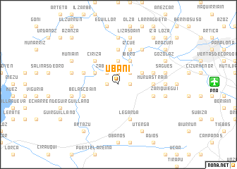
Ubani (Navarra, Spain)Ubani is a town in the Navarra region of Spain. An overview map of the region around Ubani is displayed below.
regional and 3d topo map of Ubani, Spain ::
Ubani airports ::
The nearest airport is PNA - Pamplona, located 11.2 km east of Ubani.
Other airports nearby include EAS - San Sebastian (65.5 km north), VIT - Vitoria (78.0 km west), BIQ - Biarritz-bayonne Anglet (80.8 km north), BIO - Bilbao (109.4 km north west), Nearby towns ::
Undiano (1.4km east) //
Otazu (1.9km north) //
Arraiza (1.4km west) //
Eriete (2.3km north east) //
Zabalza (2.3km north west) //
Echauri (3.7km north) //
Íbero (3.9km north) //
Larraya (3.3km north east) //
Echarri (3.3km north west) //
Ciriza (4.6km north west) //
Artázcoz (5.6km north) //
Muru-Astráin (4.1km east) //
Izcue (5.7km north) //
Paternáin (4.5km north east) //
Vidaurreta (4.5km north west) //
Legarda (5.7km south) //
Belascoáin (4.5km south west) //
Astráin (4.5km south east) //
Ororbia (6.2km north east) //
Asiáin (7.4km north) //
Izu (7.4km north) //
Guenduláin (5.4km east) //
Lizasoáin (7.5km north) //
Sagüés (5.7km east) //
Zariquiegui (5.7km east) //
Izurzu (5.7km west) //
Arguiñáriz (5.7km west) //
Gozólaz (6.6km north east) //
Muniáin (6.6km north west) //
[all distances 'as the bird flies' and approximate] 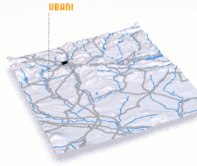 Places with similar names to Ubani, Spain ::
Disclaimer :: Information on this page comes without warranty of any kind |
||
|
Where is Ubani? Elevation and coordinates ::
Latitude (lat): 42°46'0"N Longitude (lon): 1°47'0"W
Elevation (approx.): 535m (map arrows pan, magnifying glasses zoom) |
||
|
Visiting Ubani? Hotel/Accommodation ::
Book a hotel in Ubani Travel Guide ::
Buy a travel guide for Spain rental cars ::
car rental offers GPS waypoint ::
download a GPX waypoint (PoI) of Ubani for your GPS receiver
|
||