|
search place name
|
||
Valcovero (Castilla y León, Spain)Valcovero is a town in the Castilla y León region of Spain. An overview map of the region around Valcovero is displayed below.
regional and 3d topo map of Valcovero, Spain ::

Valcovero airports ::
The nearest airport is SDR - Santander, located 101.3 km north east of Valcovero.
Other airports nearby include VLL - Valladolid (127.2 km south), OVD - Aviles Asturias (128.9 km north west), BIO - Bilbao (160.5 km east), BGC - Braganca (193.0 km south west), Nearby towns ::
Otero de Guardo (3.9km north) //
Villanueva de Arriba (5.6km south) //
Las Heras (5.7km south) //
Valsurbio (4.5km north east) //
Velilla del Río Carrión (4.5km south west) //
Muñeca (5.7km south) //
Camporredondo de Alba (6.2km north east) //
Cardaño de Abajo (7.5km north) //
Villaoliva (7.5km south) //
Intorcisa (7.5km south) //
Santibáñez de la Peña (6.6km south east) //
Guardo (8.5km south west) //
Viduerna (9.2km south east) //
Alba de los Cardaños (9.2km north east) //
[all distances 'as the bird flies' and approximate] 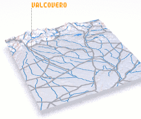 Places with similar names to Valcovero, Spain ::
// Villakvere (EE)
// Veliki Vrh (SI)
// Veliki Vrh (SI)
// Velký Vír (CZ)
// Valkeavaara (FI)
// Valkeavaara (FI)
// Valkeavaara (FI)
Disclaimer :: Information on this page comes without warranty of any kind |
||
|
Where is Valcovero? Elevation and coordinates ::
Latitude (lat): 42°51'0"N Longitude (lon): 4°47'0"W
Elevation (approx.): 1422m (map arrows pan, magnifying glasses zoom) |
||
|
Visiting Valcovero? Hotel/Accommodation ::
Book a hotel in Valcovero Travel Guide ::
Buy a travel guide for Spain rental cars ::
car rental offers GPS waypoint ::
download a GPX waypoint (PoI) of Valcovero for your GPS receiver
|
||