|
search place name
|
||
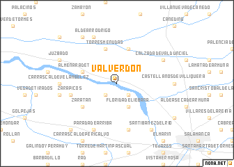
Valverdón (Castilla y León, Spain)Valverdón is a town in the Castilla y León region of Spain. An overview map of the region around Valverdón is displayed below.
regional and 3d topo map of Valverdón, Spain ::
Valverdón airports ::
The nearest airport is SLM - Salamanca, located 24.8 km south east of Valverdón.
Other airports nearby include VLL - Valladolid (105.7 km north east), BGC - Braganca (119.3 km north west), VRL - Vila Real (165.9 km west), Nearby towns ::
El Pino de Tormes (2.3km south west) //
Zorita (2.3km south east) //
Florida de Liébana (4.0km south) //
Torresmenudas (5.7km north) //
Almenara de Tormes (4.6km north west) //
Forfoleda (5.7km north) //
Zaratán (5.6km south west) //
Zarapicos (5.9km west) //
Carrascal de Barregas (7.5km south) //
Parada de Arriba (7.9km south) //
Calzada de Valdunciel (6.7km north east) //
Aldearrodrigo (7.9km north) //
Santibáñez del Río (8.5km south east) //
El Arco (8.5km north west) //
Porteros (9.3km south west) //
[all distances 'as the bird flies' and approximate] 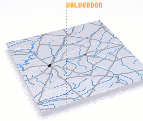 Places with similar names to Valverdón, Spain ::
// Valverdín (ES)
// Villafortuny (ES)
Disclaimer :: Information on this page comes without warranty of any kind |
||
|
Where is Valverdón? Elevation and coordinates ::
Latitude (lat): 41°3'0"N Longitude (lon): 5°46'0"W
Elevation (approx.): 793m (map arrows pan, magnifying glasses zoom) |
||
|
Visiting Valverdón? Hotel/Accommodation ::
Book a hotel in Valverdón Travel Guide ::
Buy a travel guide for Spain rental cars ::
car rental offers GPS waypoint ::
download a GPX waypoint (PoI) of Valverdón for your GPS receiver
|
||