|
search place name
|
||
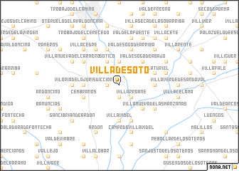
Villa de Soto (Castilla y León, Spain)Villa de Soto is a town in the Castilla y León region of Spain. An overview map of the region around Villa de Soto is displayed below.
regional and 3d topo map of Villa de Soto, Spain ::
Villa de Soto airports ::
The nearest airport is VLL - Valladolid, located 104.7 km south east of Villa de Soto.
Other airports nearby include BGC - Braganca (120.4 km south west), OVD - Aviles Asturias (125.0 km north), SLM - Salamanca (171.9 km south), SDR - Santander (173.6 km north east), Nearby towns ::
Grulleros (1.4km west) //
Alija de la Ribera (1.9km north) //
Vega de Infanzones (1.9km south) //
Villarroañe (2.3km south east) //
Marialba de la Ribera (3.7km north) //
Torneros del Bernesga (4.0km north) //
Sótico (4.0km north) //
Valdesogo de Abajo (4.6km north east) //
La Estación (4.6km south east) //
Villavidel (5.6km south) //
San Justo de las Regueras (4.1km east) //
Viloria de la Jurisdicción (4.1km west) //
Roderos (4.1km east) //
Valdesogo de Arriba (5.7km north) //
Palanquinos (5.7km south) //
Santa Olaja de la Ribera (5.7km north) //
Castillo de la Ribera (5.7km north) //
Mancilleros (4.5km north east) //
Villaturiel (4.5km north east) //
Cembranos (4.5km south west) //
Villanueva de las Manzanas (5.5km south east) //
Onzonilla (5.5km north west) //
Vilecha (6.2km north west) //
Antimio de Abajo (5.5km west) //
Nogales (5.8km east) //
Valdelafuente (7.5km north) //
Campo de Villavidel (7.5km south) //
Toldanos (6.9km north east) //
Villacedré (6.9km north west) //
[all distances 'as the bird flies' and approximate] 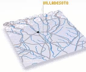 Places with similar names to Villa de Soto, Spain ::
// Valdost' (RU)
// Valdosta (US)
// Valdosta (US)
// Vale da Seta (PT)
// Vale de Souto (PT)
// Vale do Esteio (PT)
// Vil de Souto (PT)
// Filiteşti (RO)
// Folteşti (RO)
// Folteşti (RO)
Disclaimer :: Information on this page comes without warranty of any kind |
||
|
Where is Villa de Soto? Elevation and coordinates ::
Latitude (lat): 42°30'0"N Longitude (lon): 5°32'0"W
Elevation (approx.): 782m (map arrows pan, magnifying glasses zoom) |
||
|
Visiting Villa de Soto? Hotel/Accommodation ::
Book a hotel in Villa de Soto Travel Guide ::
Buy a travel guide for Spain rental cars ::
car rental offers GPS waypoint ::
download a GPX waypoint (PoI) of Villa de Soto for your GPS receiver
|
||