|
search place name
|
||
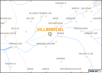
Villamarciel (Castilla y León, Spain)Villamarciel is a town in the Castilla y León region of Spain. An overview map of the region around Villamarciel is displayed below.
regional and 3d topo map of Villamarciel, Spain ::
Villamarciel airports ::
The nearest airport is VLL - Valladolid, located 19.4 km north of Villamarciel.
Other airports nearby include SLM - Salamanca (82.8 km south west), BGC - Braganca (156.0 km west), MAD - Madrid Barajas (160.0 km south east), TOJ - Madrid Torrejon (166.9 km south east), Nearby towns ::
Villanueva de Duero (2.3km south east) //
Aniago (2.8km east) //
San Miguel del Pino (4.0km south) //
Venta de Geria (4.0km north) //
Pesqueruela (4.6km north east) //
Geria (5.7km north) //
Pedroso de la Abadesa (4.6km north west) //
Robladillo (7.5km north) //
Villán de Tordesillas (7.9km north) //
Simancas (7.9km north east) //
Velliza (7.9km north west) //
[all distances 'as the bird flies' and approximate] 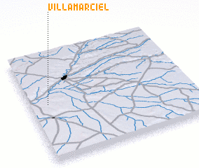 Places with similar names to Villamarciel, Spain ::
// Villamarcel (ES)
// Ghulām Rasūl (PK)
// Ghulām Rasūl (PK)
// Ghulām Rasūl (PK)
// Ghulām Rasūl (PK)
// Villa Mirasol (AR)
Disclaimer :: Information on this page comes without warranty of any kind |
||
|
Where is Villamarciel? Elevation and coordinates ::
Latitude (lat): 41°32'0"N Longitude (lon): 4°53'0"W
Elevation (approx.): 679m (map arrows pan, magnifying glasses zoom) |
||
|
Visiting Villamarciel? Hotel/Accommodation ::
Book a hotel in Villamarciel Travel Guide ::
Buy a travel guide for Spain rental cars ::
car rental offers GPS waypoint ::
download a GPX waypoint (PoI) of Villamarciel for your GPS receiver
|
||