|
search place name
|
||
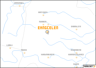
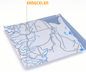
Emngcelen (KwaZulu-Natal, South Africa)Emngcelen is a town in the KwaZulu-Natal region of South Africa. An overview map of the region around Emngcelen is displayed below.
regional and 3d topo map of Emngcelen, South Africa ::
Emngcelen airports ::
The nearest airport is MTS - Manzini Matsapha, located 87.0 km north west of Emngcelen.
Other airports nearby include MPM - Maputo (127.7 km north east), ULD - Ulundi Prince Mangosuthu Buthelezi (161.9 km south), RCB - Richard's Bay Richards Bay (196.7 km south), Nearby towns ::
 Places with similar names to Emngcelen, South Africa :: Disclaimer :: Information on this page comes without warranty of any kind |
||
|
Where is Emngcelen? Elevation and coordinates ::
Latitude (lat): 26°58'0"S Longitude (lon): 32°2'0"E
Elevation (approx.): 625m (map arrows pan, magnifying glasses zoom) |
||
|
Visiting Emngcelen? Hotel/Accommodation ::
Book a hotel in Emngcelen Travel Guide ::
rental cars ::
car rental offers GPS waypoint ::
download a GPX waypoint (PoI) of Emngcelen for your GPS receiver
|
||