|
search place name
|
||
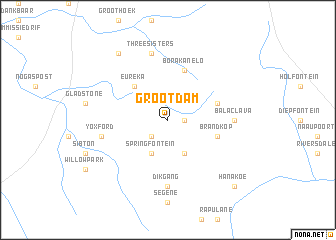
Grootdam (Free State, South Africa)Grootdam is a town in the Free State region of South Africa. An overview map of the region around Grootdam is displayed below.
regional and 3d topo map of Grootdam, South Africa ::
Grootdam airports ::
The nearest airport is MSU - Maseru Moshoeshoe I Intl, located 62.3 km east of Grootdam.
Other airports nearby include BFN - Bloemfontein Intl (67.8 km north west), WEL - Welkom (155.4 km north), Nearby towns ::
Tweefontein (1.6km east) //
Boesmanskop (2.5km south west) //
Rietfontein (4.0km south east) //
Springfontein (4.0km south west) //
Eureka (4.9km north west) //
Borakanelo (5.8km north) //
Balaclava (5.2km east) //
Brandkop (5.2km east) //
Balaclava (6.5km east) //
Dikgang (7.4km south) //
Three Sisters (7.6km north) //
Yoxford (6.7km west) //
Homeward (8.9km north west) //
Hanakoe (9.8km south east) //
[all distances 'as the bird flies' and approximate] 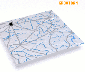 Places with similar names to Grootdam, South Africa ::
// Guarda do Embaú (BR)
Disclaimer :: Information on this page comes without warranty of any kind |
||
|
Where is Grootdam? Elevation and coordinates ::
Latitude (lat): 29°23'0"S Longitude (lon): 26°55'0"E
Elevation (approx.): 1565m (map arrows pan, magnifying glasses zoom) |
||
|
Visiting Grootdam? Hotel/Accommodation ::
Book a hotel in Grootdam Travel Guide ::
rental cars ::
car rental offers GPS waypoint ::
download a GPX waypoint (PoI) of Grootdam for your GPS receiver
|
||