|
search place name
|
||
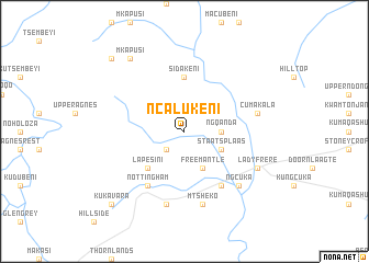
Ncalukeni (South Africa)Ncalukeni is a town in South Africa. An overview map of the region around Ncalukeni is displayed below.
regional and 3d topo map of Ncalukeni, South Africa ::
Ncalukeni airports ::
The nearest airport is UTW - Queenstown, located 38.9 km south west of Ncalukeni.
Other airports nearby include VIY - Bisho Bhisho (136.9 km south), UTT - Umtata Mthatha (143.7 km east), ELS - East London (164.0 km south), Nearby towns ::
Mount Arthur (2.4km south west) //
Ngqanda (3.2km east) //
Staatsplaas (3.7km south east) //
Freemantle (4.0km south east) //
Lapesini (4.9km south west) //
Sidakeni (5.6km north) //
Glen Grey Hospital (6.4km south east) //
Nottingham (6.4km south west) //
Mtsheko (7.6km south) //
Cumakala (6.6km east) //
Glen Adelaide (7.6km south) //
Ngcuka (7.3km south east) //
Lady Frere (7.3km south east) //
Mkapusi (8.8km north west) //
KuKavara (9.7km south west) //
Braunville (9.7km north west) //
[all distances 'as the bird flies' and approximate] 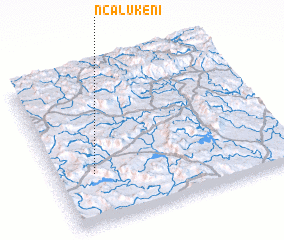 Places with similar names to Ncalukeni, South Africa ::
// Ngalegôn (MM)
// Ncalukeni (ZA)
// Ncalukeni (ZA)
// Ncalukeni (ZA)
// Ncalukeni (ZA)
// Nikol'kino (RU)
// Nikul'kina (RU)
// Nikulkino (RU)
// Nikulkino (RU)
// Nikulkino (RU)
Disclaimer :: Information on this page comes without warranty of any kind |
||
|
Where is Ncalukeni? Elevation and coordinates ::
Latitude (lat): 31°40'0"S Longitude (lon): 27°10'0"E
Elevation (approx.): 1134m (map arrows pan, magnifying glasses zoom) |
||
|
Visiting Ncalukeni? Hotel/Accommodation ::
Book a hotel in Ncalukeni Travel Guide ::
rental cars ::
car rental offers GPS waypoint ::
download a GPX waypoint (PoI) of Ncalukeni for your GPS receiver
|
||