|
search place name
|
||
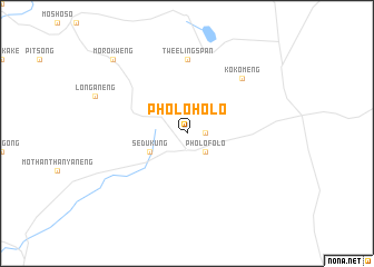
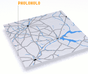
Pholoholo (South Africa)Pholoholo is a town in South Africa. An overview map of the region around Pholoholo is displayed below.
regional and 3d topo map of Pholoholo, South Africa ::
Pholoholo airports ::
The nearest airport is VRU - Vryburg, located 78.7 km north of Pholoholo.
Other airports nearby include KIM - Kimberley (129.8 km south), WEL - Welkom (168.9 km east), BFN - Bloemfontein Intl (204.6 km south east), MBO - Mmabatho Mafikeng (212.3 km north), Nearby towns ::
 Places with similar names to Pholoholo, South Africa ::
// Valhalla (US)
// Flea Hill (US)
// Valhalla (US)
// Flea Hill (US)
// Faluhely (HU)
// Valhalla (ZA)
// Valley Hill (US)
// Filhiol (US)
// Valley Hill (US)
// Valhalla (US)
Disclaimer :: Information on this page comes without warranty of any kind |
||
|
Where is Pholoholo? Elevation and coordinates ::
Latitude (lat): 27°39'0"S Longitude (lon): 25°0'0"E
Elevation (approx.): 1302m (map arrows pan, magnifying glasses zoom) |
||
|
Visiting Pholoholo? Hotel/Accommodation ::
Book a hotel in Pholoholo Travel Guide ::
rental cars ::
car rental offers GPS waypoint ::
download a GPX waypoint (PoI) of Pholoholo for your GPS receiver
|
||