|
search place name
|
||
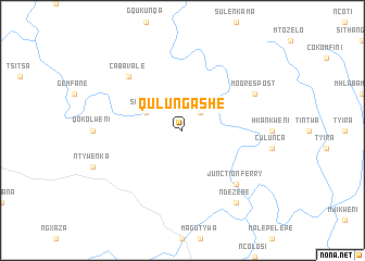
Qulungashe (South Africa)Qulungashe is a town in South Africa. An overview map of the region around Qulungashe is displayed below.
regional and 3d topo map of Qulungashe, South Africa ::
Qulungashe airports ::
The nearest airport is UTT - Umtata Mthatha, located 48.0 km south of Qulungashe.
Other airports nearby include MGH - Margate (165.8 km east), UTW - Queenstown (188.7 km south west), MSU - Maseru Moshoeshoe I Intl (210.8 km north west), ELS - East London (226.0 km south), Nearby towns ::
Sinqungweni (2.4km north east) //
Sinxago (3.7km north west) //
Junction Ferry (7.3km south east) //
Caba Vale (7.3km north west) //
Moorespost (7.4km north east) //
Ndezebe (8.8km south east) //
[all distances 'as the bird flies' and approximate] 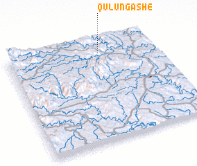 Places with similar names to Qulungashe, South Africa ::
// Kalangash (IR)
// Kalankash (IR)
// Callancachi (PE)
// K'u-ling-chiao (TW)
// K'u-ling-chiao (TW)
// K'u-ling-chiao (TW)
// K'u-ling-chiao (TW)
// K'u-ling-chiao (TW)
// K'u-ling-chiao (TW)
// K'u-ling-chiao (TW)
Disclaimer :: Information on this page comes without warranty of any kind |
||
|
Where is Qulungashe? Elevation and coordinates ::
Latitude (lat): 31°7'0"S Longitude (lon): 28°38'0"E
Elevation (approx.): 943m (map arrows pan, magnifying glasses zoom) |
||
|
Visiting Qulungashe? Hotel/Accommodation ::
Book a hotel in Qulungashe Travel Guide ::
rental cars ::
car rental offers GPS waypoint ::
download a GPX waypoint (PoI) of Qulungashe for your GPS receiver
|
||