|
search place name
|
||
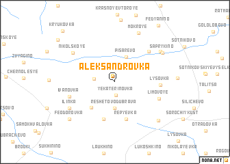
Aleksandrovka (Lipetskaya Oblast', Russia)Aleksandrovka is a town in the Lipetskaya Oblast' region of Russia. An overview map of the region around Aleksandrovka is displayed below.
regional and 3d topo map of Aleksandrovka, Russia ::
Aleksandrovka airports ::
The nearest airport is VOZ - Voronezh Chertovitskoye, located 130.5 km south of Aleksandrovka.
Nearby towns ::
Yekaterinovka (2.2km south) //
Sukhodol (2.1km west) //
Reshetovo-Dubrava (4.3km south) //
Pisarevo (4.2km north) //
Markovo (4.8km south west) //
Rep'yëvka (6.2km south) //
Olësino (6.2km south) //
Lysovka (4.5km east) //
Verkhneye Sukhinino (6.0km north east) //
Limovoye (5.1km south east) //
Ivanovka (5.1km south west) //
Nikol'skoye (6.3km north west) //
Il'inka (6.2km south west) //
Mokroye (8.3km north) //
Nizhneye Sukhinino (6.7km north east) //
Saprykino (6.7km north east) //
Dernovka (7.6km south east) //
Feodorovka (7.6km south west) //
Kryukovka (9.8km north west) //
[all distances 'as the bird flies' and approximate] 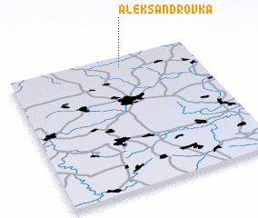 Places with similar names to Aleksandrovka, Russia ::
// Aleksandrivka (UA)
// Aleksandrovka (UA)
// Aleksandrovka (UA)
// Aleksandrovka (UA)
// Aleksandrovka (UA)
// Aleksandrovka (UA)
// Aleksandrovka (UA)
// Aleksandrovka (UA)
// Aleksandrovka (UA)
// Aleksandrovka (UA)
Disclaimer :: Information on this page comes without warranty of any kind |
||
|
Where is Aleksandrovka? Elevation and coordinates ::
Latitude (lat): 52°55'18"N Longitude (lon): 38°36'1"E
Elevation (approx.): 218m (map arrows pan, magnifying glasses zoom) |
||
|
Visiting Aleksandrovka? Hotel/Accommodation ::
Book a hotel in Aleksandrovka Travel Guide ::
Buy a travel guide for Russia rental cars ::
car rental offers GPS waypoint ::
download a GPX waypoint (PoI) of Aleksandrovka for your GPS receiver
|
||